



Thunderstorms and Heavy Rainfall from the Plains to the Mid-Atlantic
Severe thunderstorms producing damaging winds are most likely over parts of the Dakotas into Minnesota from this afternoon into the overnight, with other isolated storms producing hail or wind over the northern High Plains. In the Northern Plains into the Upper Great Lakes and Mid-Atlantic, heavy to excessive rain may bring flash and urban flooding through Wednesday. Read More >

Hazardous Weather Conditions
Mountain Home Air Force Base (KMUO)
Lat: 43.05°NLon: 115.86667°WElev: 2995.0ft.
Partly Cloudy
95°F
35°C
| Humidity | 11% |
| Wind Speed | N 10 MPH |
| Barometer | 29.96 in (1014.56 mb) |
| Dewpoint | 33°F (1°C) |
| Visibility | 10.00 mi |
| Heat Index | 90°F (32°C) |
| Last update | 07 Jul 03:55 PM MDT |
31 Miles NNE Owyhee NV
NOW until 9:00pm Tue

Red Flag Warning
This Afternoon

High: 88 °F
Scattered
T-stormsTonight
Low: 57 °F
Isolated
T-storms then
Mostly ClearWednesday
High: 90 °F
Sunny then
Scattered
T-stormsWednesday Night
Low: 56 °F
Isolated
T-storms then
Mostly ClearThursday

High: 88 °F
Sunny
Thursday Night

Low: 56 °F
Clear
Friday

High: 96 °F
Hot
Friday Night
Low: 60 °F
Clear
Detailed Forecast
Additional Forecasts and Information
 Forecast Area
ABOUT THIS FORECAST
42.34°N 115.85°W (Elev. 5154 ft)


Additional Resources
Radar & Satellite Image
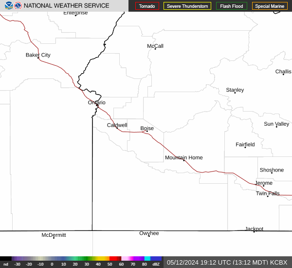

Hourly Weather Forecast


