Heavy Rainfall Threat Continues in the Southwest on Monday; Record Warmth in the Plains and Midwest

Remnant moisture from Tropical Storm Rachel will persist over portions of the Great Basin and Southwest on Monday, bringing a potential heavy to excessive rainfall risk. Well above average and potentially record breaking temperatures will develop across the Plains and Midwest early this week, spreading into the Lower Mississippi Valley and Southeast midweek. Read More >

Current conditions at

Kalamazoo/Battle Creek International Airport (KAZO)

Lat: 42.23°NLon: 85.55°WElev: 863ft.

Fair

67°F

19°C

Humidity 76%
Wind Speed S 8 mph
Barometer 29.77 in (1007.6 mb)
Dewpoint 59°F (15°C)
Visibility 10.00 mi
Last update 13 Oct 5:53 am EDT
Extended Forecast for

Martin MI

  • Today

    Today: Sunny, with a high near 76. West wind 10 to 14 mph, with gusts as high as 26 mph.

    High: 76 °F

    Sunny

  • Tonight

    Tonight: A chance of showers, with thunderstorms also possible after 2am.  Increasing clouds, with a low around 55. Light and variable wind.  Chance of precipitation is 50%.

    Low: 55 °F

    Chance
    Showers

  • Wednesday

    Wednesday: A 10 percent chance of showers before 8am.  Partly sunny, with a high near 68. Calm wind becoming north northeast 5 to 7 mph in the morning.

    High: 68 °F

    Slight Chance
    Showers then
    Partly Sunny

  • Wednesday Night

    Wednesday Night: Mostly cloudy, with a low around 46. East northeast wind 5 to 7 mph.

    Low: 46 °F

    Mostly Cloudy

  • Thursday

    Thursday: Showers likely, mainly after 2pm.  Mostly cloudy, with a high near 63. East southeast wind around 8 mph.  Chance of precipitation is 60%.

    High: 63 °F

    Chance
    Showers then
    Showers
    Likely

  • Thursday Night

    Thursday Night: Showers likely, mainly before 2am.  Cloudy, with a low around 45. Chance of precipitation is 70%.

    Low: 45 °F

    Showers
    Likely

  • Friday

    Friday: A 40 percent chance of showers before 2pm.  Partly sunny, with a high near 56.

    High: 56 °F

    Chance
    Showers

  • Friday Night

    Friday Night: Partly cloudy, with a low around 32.

    Low: 32 °F

    Partly Cloudy

  • Saturday

    Saturday: Sunny, with a high near 55.

    High: 55 °F

    Sunny

Detailed Forecast

Today
Sunny, with a high near 76. West wind 10 to 14 mph, with gusts as high as 26 mph.
Tonight
A chance of showers, with thunderstorms also possible after 2am. Increasing clouds, with a low around 55. Light and variable wind. Chance of precipitation is 50%.
Wednesday
A 10 percent chance of showers before 8am. Partly sunny, with a high near 68. Calm wind becoming north northeast 5 to 7 mph in the morning.
Wednesday Night
Mostly cloudy, with a low around 46. East northeast wind 5 to 7 mph.
Thursday
Showers likely, mainly after 2pm. Mostly cloudy, with a high near 63. East southeast wind around 8 mph. Chance of precipitation is 60%.
Thursday Night
Showers likely, mainly before 2am. Cloudy, with a low around 45. Chance of precipitation is 70%.
Friday
A 40 percent chance of showers before 2pm. Partly sunny, with a high near 56.
Friday Night
Partly cloudy, with a low around 32.
Saturday
Sunny, with a high near 55.
Saturday Night
Clear, with a low around 34.
Sunday
Sunny, with a high near 63.
Sunday Night
Partly cloudy, with a low around 42.
Monday
Partly sunny, with a high near 66.
Basemap Options
Click map to change the forecast location
Loading map...

ABOUT THIS FORECAST

 
Point Forecast:
Martin MI
 42.53°N 85.65°W (Elev. 840 ft)
6:03 am EDT Oct 13, 2026
6am EDT Oct 13, 2026-6pm EDT Oct 19, 2026
 
Get as KML Get as XML

Additional Resources

Radar & Satellite Image
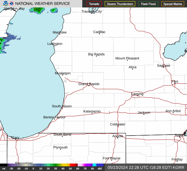
Link to Local Radar Data Link to Satellite Data

Hourly Weather Forecast

National Digital Forecast Database