



Extreme Heat Lingers; Severe Thunderstorms for Portions of the Plains and Southeast; Heavy Rainfall Threats
Gusty winds and heavy rainfall may impact the Big Island of Hawaii as a nearby tropical system passes west of the islands. From the Southwest U.S., Rockies and across the Gulf Coast, heavy rainfall could lead to isolated flash flooding. Severe thunderstorms are expected for areas of the Plains, Gulf Coast and Southeast through Tuesday. Extreme heat lingers for the southern Plains and Southwest. Read More >

WY28 - South Pass (KSOU)
Lat: 42.47752°NLon: 108.8444°WElev: 8196.0ft.NA
75°F
24°C
| Humidity | 22% |
| Wind Speed | WSW 11 MPH |
| Barometer | NA |
| Dewpoint | 34°F (1°C) |
| Visibility | 1.24 mi |
| Last update | 24 Aug 02:42 PM MDT |
15 Miles NNW South Pass City WY
This Afternoon

High: 66 °F
Severe
ThunderstormsTonight
Low: 47 °F
Breezy.
Severe
Thunderstorms
then Mostly
CloudyTuesday
High: 64 °F
Breezy.
Mostly Sunny
then Chance
ShowersTuesday Night
Low: 46 °F
Slight Chance
T-storms then
Partly CloudyWednesday
High: 65 °F
Mostly Sunny
then Slight
Chance
T-stormsWednesday Night
Low: 47 °F
Slight Chance
T-storms then
Partly CloudyThursday

High: 67 °F
Mostly Sunny
Thursday Night
Low: 50 °F
Slight Chance
T-storms then
Partly CloudyFriday
High: 66 °F
Partly Sunny
then Slight
Chance
T-storms and
Breezy
Detailed Forecast
Additional Forecasts and Information
 Forecast Area
ABOUT THIS FORECAST
42.67°N 108.96°W (Elev. 9872 ft)


Additional Resources
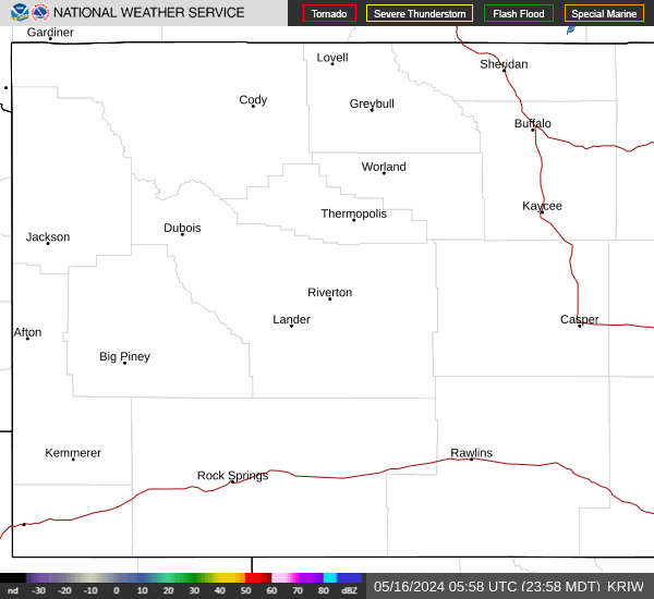
Radar & Satellite Image

Hourly Weather Forecast


