

Hurricane Isaias to Approach the Northern Gulf Coast on Friday

Isaias is expected to approach the northern Gulf Coast as a strong hurricane on Friday, bringing life-threatening storm surge, damaging winds, heavy rain, and severe thunderstorms across the region and Southeast into the weekend, with risks of flooding and tornadoes. Read More >

Current conditions at

Pinedale, Ralph Wenz Field Airport (KPNA)

Lat: 42.79528°NLon: 109.80694°WElev: 7087.0ft.

Clear

50°F

10°C

Humidity 37%
Wind Speed WNW 3 MPH
Barometer 30.35 in (1027.77 mb)
Dewpoint 25°F (-4°C)
Visibility 10.00 mi
Last update 08 Oct 09:55 AM MDT
Extended Forecast for

11 Miles NE Boulder WY

  • Today

    Today: Sunny, with a high near 60. West wind 5 to 11 mph, with gusts as high as 20 mph.

    High: 60 °F

    Sunny

  • Tonight

    Tonight: Mostly clear, with a low around 40. Northwest wind 3 to 8 mph.

    Low: 40 °F

    Mostly Clear

  • Friday

    Friday: Increasing clouds, with a high near 57. Breezy, with a west southwest wind 5 to 10 mph increasing to 16 to 21 mph in the afternoon. Winds could gust as high as 36 mph.

    High: 57 °F

    Sunny then
    Increasing
    Clouds and
    Breezy

  • Friday Night

    Friday Night: A 30 percent chance of showers, mainly after midnight.  Partly cloudy, with a low around 38. Breezy, with a south southwest wind 8 to 18 mph, with gusts as high as 31 mph.

    Low: 38 °F

    Chance
    Showers and
    Breezy

  • Saturday

    Saturday: Showers likely, then showers and possibly a thunderstorm after noon.  High near 50. Breezy, with a southwest wind 10 to 17 mph, with gusts as high as 32 mph.  Chance of precipitation is 90%. New rainfall amounts between a tenth and quarter of an inch, except higher amounts possible in thunderstorms.

    High: 50 °F

    Showers
    Likely then
    Showers and
    Breezy

  • Saturday Night

    Saturday Night: Showers and possibly a thunderstorm.  Low around 36. Breezy, with a south wind 9 to 15 mph, with gusts as high as 26 mph.  Chance of precipitation is 100%.

    Low: 36 °F

    Showers and
    Breezy

  • Sunday

    Sunday: Showers and possibly a thunderstorm.  High near 42. Breezy, with a south southwest wind 11 to 15 mph, with gusts as high as 26 mph.  Chance of precipitation is 100%.

    High: 42 °F

    Showers and
    Breezy

  • Sunday Night

    Sunday Night: Showers and possibly a thunderstorm.  Low around 34. Breezy.  Chance of precipitation is 100%.

    Low: 34 °F

    Showers and
    Breezy

  • Columbus Day

    Columbus Day: Rain and snow showers. Some thunder is also possible.  Snow level 10300 feet. High near 40. Chance of precipitation is 90%.

    High: 40 °F

    Rain/Snow

Detailed Forecast

Today
Sunny, with a high near 60. West wind 5 to 11 mph, with gusts as high as 20 mph.
Tonight
Mostly clear, with a low around 40. Northwest wind 3 to 8 mph.
Friday
Increasing clouds, with a high near 57. Breezy, with a west southwest wind 5 to 10 mph increasing to 16 to 21 mph in the afternoon. Winds could gust as high as 36 mph.
Friday Night
A 30 percent chance of showers, mainly after midnight. Partly cloudy, with a low around 38. Breezy, with a south southwest wind 8 to 18 mph, with gusts as high as 31 mph.
Saturday
Showers likely, then showers and possibly a thunderstorm after noon. High near 50. Breezy, with a southwest wind 10 to 17 mph, with gusts as high as 32 mph. Chance of precipitation is 90%. New rainfall amounts between a tenth and quarter of an inch, except higher amounts possible in thunderstorms.
Saturday Night
Showers and possibly a thunderstorm. Low around 36. Breezy, with a south wind 9 to 15 mph, with gusts as high as 26 mph. Chance of precipitation is 100%.
Sunday
Showers and possibly a thunderstorm. High near 42. Breezy, with a south southwest wind 11 to 15 mph, with gusts as high as 26 mph. Chance of precipitation is 100%.
Sunday Night
Showers and possibly a thunderstorm. Low around 34. Breezy. Chance of precipitation is 100%.
Columbus Day
Rain and snow showers. Some thunder is also possible. Snow level 10300 feet. High near 40. Chance of precipitation is 90%.
Monday Night
Rain and snow showers likely before 3am, then a chance of snow showers. Some thunder is also possible. Snow level 10000 feet lowering to 9800 feet after midnight . Mostly cloudy, with a low around 31. Chance of precipitation is 60%.
Tuesday
A chance of rain and snow showers. Mostly sunny, with a high near 44.
Tuesday Night
A chance of rain and snow showers. Partly cloudy, with a low around 31.
Wednesday
Snow showers likely. Some thunder is also possible. Mostly sunny, with a high near 41.
Basemap Options
Click map to change the forecast location
Loading map...

ABOUT THIS FORECAST

 
Point Forecast:
11 Miles NE Boulder WY
 42.83°N 109.48°W (Elev. 9764 ft)
8:51 am MDT Oct 8, 2026
10am MDT Oct 8, 2026-6pm MDT Oct 14, 2026
 
Get as KML Get as XML

Additional Resources

Radar & Satellite Image
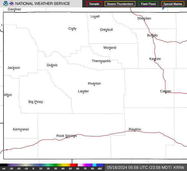
Link to Local Radar Data Link to Satellite Data

Hourly Weather Forecast

National Digital Forecast Database


