



Excessive Rainfall Potential for the Southeast; Heat Expands for Center of the Nation; Critical Fire Weather for Pacific Northwest
Flash flooding threatens areas from the Tennessee Valley to the Carolinas as storms repeat along a stalled front. Monsoonal storms may trigger flooding in the Southwest. Dangerous heat expands across the Desert Southwest, Plains, mid-Mississippi Valley and Southern Tier. Critical fire weather for interior Pacific Northwest. Cooler, drier air brings brief relief to the Great Lakes and Northeast. Read More >

Lander (KLND)
Lat: 42.81472°NLon: 108.72806°WElev: 5587.0ft.
Partly Cloudy
82°F
28°C
| Humidity | 26% |
| Wind Speed | WSW 9 MPH |
| Barometer | 30.11 in (1019.64 mb) |
| Dewpoint | 45°F (7°C) |
| Visibility | 10.00 mi |
| Heat Index | 80°F (27°C) |
| Last update | 24 Jul 08:20 PM MDT |
9 Miles WSW Fort Washakie WY
Tonight
Low: 62 °F
Scattered
Showers then
Partly CloudySaturday
High: 78 °F
Isolated
Showers then
Scattered
T-storms and
BreezySaturday Night
Low: 63 °F
Mostly Clear
and Breezy
then Mostly
ClearSunday
High: 79 °F
Sunny then
Slight Chance
T-stormsSunday Night

Low: 61 °F
Partly Cloudy
Monday
High: 76 °F
Sunny then
Showers
LikelyMonday Night
Low: 59 °F
Chance
Showers then
Partly CloudyTuesday
High: 75 °F
Sunny then
Chance
T-stormsTuesday Night
Low: 59 °F
Slight Chance
T-storms then
Partly Cloudy
Detailed Forecast
Additional Forecasts and Information
 Forecast Area
ABOUT THIS FORECAST
42.95°N 109.09°W (Elev. 8973 ft)


Additional Resources
Radar & Satellite Image
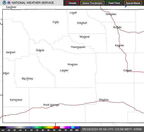

Hourly Weather Forecast


