Severe Thunderstorms in the Ohio Valley and Mid-Atlantic; Heat Continuing in the Central U.S.
Widespread strong to severe thunderstorms are expected from the Upper Ohio Valley into the Mid-Atlantic through Friday, with damaging winds as the primary threat. Dangerous heat will continue from the South-Central U.S. to the Midwest, Ohio/Tennessee valleys, and Mid-Atlantic. Widespread Major to Extreme Heat Risk is forecast into the weekend and will confine to the South-Central U.S. by Labor Day Read More >

Hazardous Weather Conditions
Ionia County Airport (KY70)
Lat: 42.94°NLon: 85.06°WElev: 818ft.
Fair
68°F
20°C
| Humidity | 100% |
| Wind Speed | E 5 mph |
| Barometer | 29.95 in |
| Dewpoint | 68°F (20°C) |
| Visibility | 10.00 mi |
| Last update | 4 Sep 3:35 am EDT |
Ionia MI
Overnight

Low: 68 °F
Heavy Rain
and Patchy
FogFriday
High: 82 °F
Heavy Rain
then Slight
Chance
T-stormsFriday Night

Low: 64 °F
Chance
ShowersSaturday
High: 79 °F
Slight Chance
Showers then
Partly SunnySaturday Night

Low: 55 °F
Mostly Clear
Sunday

High: 78 °F
Sunny
Sunday Night
Low: 55 °F
Mostly Clear
Labor Day

High: 79 °F
Mostly Sunny
Monday Night

Low: 58 °F
Partly Cloudy
Detailed Forecast
Additional Forecasts and Information
 Forecast Area
ABOUT THIS FORECAST
43°N 85.04°W (Elev. 748 ft)


Additional Resources
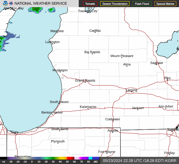
Radar & Satellite Image

Hourly Weather Forecast