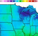
Areas of Heavy to Excessive Rainfall and Hot Temperatures This Week
Heavy to excessive rainfall could bring areas of flooding at times Monday through Thursday across parts of the central Plains into the Midwest as well as southern Arizona and New Mexico. Hot temperatures and high humidity will continue across much of east Texas into the lower and mid-Mississippi Valley through at least midweek. Read More >

Juneau, Dodge County Airport (KUNU)
Lat: 43.43°NLon: 88.7°WElev: 935ft.
Fair
56°F
13°C
| Humidity | 65% |
| Wind Speed | Calm |
| Barometer | 30.18 in |
| Dewpoint | 44°F (7°C) |
| Visibility | 10.00 mi |
| Last update | 13 Sep 9:55 pm CDT |
Columbus WI
Tonight

Low: 42 °F
Mostly Clear
Monday
High: 71 °F
Sunny then
Slight Chance
ShowersMonday Night
Low: 62 °F
Chance
T-storms then
ShowersTuesday

High: 76 °F
Showers
LikelyTuesday Night

Low: 53 °F
Mostly Cloudy
Wednesday
High: 70 °F
Slight Chance
Showers then
Chance
ShowersWednesday Night

Low: 58 °F
Showers
LikelyThursday

High: 74 °F
Chance
ShowersThursday Night
Low: 56 °F
Mostly Cloudy
then Chance
Showers
Detailed Forecast
Additional Forecasts and Information
 Forecast Area
ABOUT THIS FORECAST
43.34°N 89.03°W (Elev. 899 ft)


Additional Resources
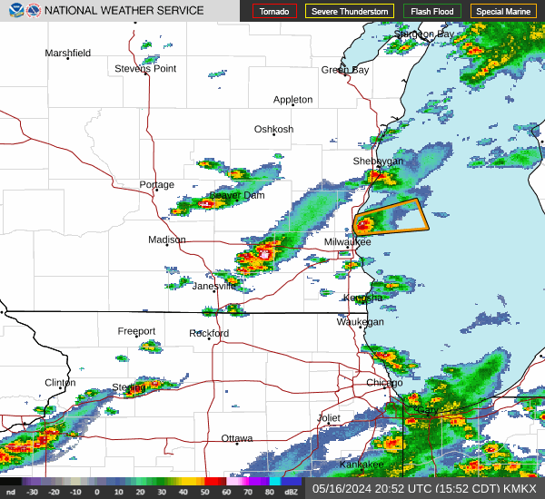
Radar & Satellite Image

Hourly Weather Forecast