Dangerous Heat in the Southwest; Severe Thunderstorms and Heavy Rain in the Northeast and Mid-Atlantic

Dangerous heat will persist across the Southwest U.S. through Friday with daytime highs of 110-115°F. Heat across the southern Plains will briefly ease to near-normal by late week. Strong to severe thunderstorms may produce damaging wind, hail, a tornado or two, heavy rain and flash flooding across parts of the Mid-Atlantic and Northeast. Heavy rainfall threat continues across the Gulf Coast. Read More >

Current conditions at

Big Rapids, Roben-Hood Airport (KRQB)

Lat: 43.72°NLon: 85.5°WElev: 991ft.

Overcast

63°F

17°C

Humidity 100%
Wind Speed NW 2 mph
Barometer 29.94 in
Dewpoint 63°F (17°C)
Visibility 10.00 mi
Last update 27 Aug 8:15 am EDT
Extended Forecast for

4 Miles W Lakeview MI

  • Today

    Today: Mostly sunny, with a high near 79. Northwest wind 5 to 10 mph, with gusts as high as 18 mph.

    High: 79 °F

    Mostly Sunny

  • Tonight

    Tonight: Mostly clear, with a low around 52. North northwest wind 5 to 8 mph becoming calm  after midnight. Winds could gust as high as 18 mph.

    Low: 52 °F

    Mostly Clear

  • Friday

    Friday: Patchy fog before 9am.  Otherwise, mostly sunny, with a high near 79. Calm wind becoming west northwest 5 to 7 mph in the afternoon.

    High: 79 °F

    Patchy Fog
    then Mostly
    Sunny

  • Friday Night

    Friday Night: Mostly clear, with a low around 54. West wind around 5 mph becoming calm  in the evening.

    Low: 54 °F

    Mostly Clear

  • Saturday

    Saturday: Partly sunny, with a high near 81. Light south southwest wind becoming southwest 9 to 14 mph in the morning. Winds could gust as high as 25 mph.

    High: 81 °F

    Partly Sunny

  • Saturday Night

    Saturday Night: A 40 percent chance of showers after 2am.  Mostly cloudy, with a low around 63.

    Low: 63 °F

    Mostly Cloudy
    then Chance
    Showers

  • Sunday

    Sunday: A 30 percent chance of showers before 2pm.  Mostly cloudy, with a high near 83.

    High: 83 °F

    Chance
    Showers

  • Sunday Night

    Sunday Night: A chance of showers after 8pm.  Mostly cloudy, with a low around 66.

    Low: 66 °F

    Chance
    Showers

  • Monday

    Monday: Partly sunny, with a high near 84.

    High: 84 °F

    Partly Sunny

Detailed Forecast

Today
Mostly sunny, with a high near 79. Northwest wind 5 to 10 mph, with gusts as high as 18 mph.
Tonight
Mostly clear, with a low around 52. North northwest wind 5 to 8 mph becoming calm after midnight. Winds could gust as high as 18 mph.
Friday
Patchy fog before 9am. Otherwise, mostly sunny, with a high near 79. Calm wind becoming west northwest 5 to 7 mph in the afternoon.
Friday Night
Mostly clear, with a low around 54. West wind around 5 mph becoming calm in the evening.
Saturday
Partly sunny, with a high near 81. Light south southwest wind becoming southwest 9 to 14 mph in the morning. Winds could gust as high as 25 mph.
Saturday Night
A 40 percent chance of showers after 2am. Mostly cloudy, with a low around 63.
Sunday
A 30 percent chance of showers before 2pm. Mostly cloudy, with a high near 83.
Sunday Night
A chance of showers after 8pm. Mostly cloudy, with a low around 66.
Monday
Partly sunny, with a high near 84.
Monday Night
A chance of showers after 2am. Partly cloudy, with a low around 66.
Tuesday
A chance of showers. Mostly sunny, with a high near 85.
Tuesday Night
A chance of showers. Mostly cloudy, with a low around 65.
Wednesday
A chance of showers. Partly sunny, with a high near 83.
Basemap Options
Click map to change the forecast location
Loading map...

ABOUT THIS FORECAST

 
Point Forecast:
4 Miles W Lakeview MI
 43.45°N 85.35°W (Elev. 902 ft)
8:03 am EDT Aug 27, 2026
8am EDT Aug 27, 2026-6pm EDT Sep 2, 2026
 
Get as KML Get as XML

Additional Resources

Radar & Satellite Image
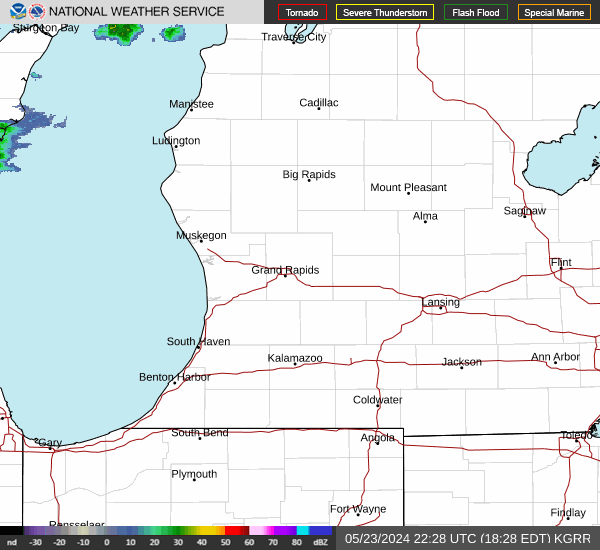
Link to Local Radar Data Link to Satellite Data

Hourly Weather Forecast

National Digital Forecast Database