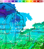
Areas of Dangerous Heat and Severe Thunderstorms

Dangerous heat will persist across the Southwest U.S. through Friday with daytime highs of 110-115°F. Heat across the southern Plains will briefly ease to near-normal by late week before returning over much of the Plains into next week. Scattered strong to severe thunderstorms are possible across parts of the Northeast U.S. on Thursday. Damaging wind, hail, and a tornado or two are possible. Read More >

Current conditions at

Big Rapids, Roben-Hood Airport (KRQB)

Lat: 43.72°NLon: 85.5°WElev: 991ft.

Light Rain

66°F

19°C

Humidity 88%
Wind Speed NW 5 mph
Barometer 29.87 in
Dewpoint 63°F (17°C)
Visibility 10.00 mi
Last update 26 Aug 10:15 pm EDT
Extended Forecast for

6 Miles NNE Reed City MI

  • Tonight

    Tonight: Partly cloudy, with a low around 56. West northwest wind 3 to 5 mph.

    Low: 56 °F

    Partly Cloudy

  • Thursday

    Thursday: Mostly cloudy, then gradually becoming sunny, with a high near 76. Northwest wind 6 to 10 mph, with gusts as high as 20 mph.

    High: 76 °F

    Decreasing
    Clouds

  • Thursday Night

    Thursday Night: Mostly clear, with a low around 48. North wind 5 to 7 mph becoming calm  in the evening.

    Low: 48 °F

    Mostly Clear

  • Friday

    Friday: Mostly sunny, with a high near 77. Calm wind becoming west northwest 5 to 7 mph in the afternoon.

    High: 77 °F

    Mostly Sunny

  • Friday Night

    Friday Night: Mostly clear, with a low around 52. Light and variable wind.

    Low: 52 °F

    Mostly Clear

  • Saturday

    Saturday: Partly sunny, with a high near 80.

    High: 80 °F

    Partly Sunny

  • Saturday Night

    Saturday Night: A 30 percent chance of showers after 2am.  Mostly cloudy, with a low around 60.

    Low: 60 °F

    Mostly Cloudy
    then Chance
    Showers

  • Sunday

    Sunday: A chance of showers before 2pm.  Mostly cloudy, with a high near 83.

    High: 83 °F

    Chance
    Showers

  • Sunday Night

    Sunday Night: Showers likely, mainly after 2am.  Mostly cloudy, with a low around 64.

    Low: 64 °F

    Showers
    Likely

Detailed Forecast

Tonight
Partly cloudy, with a low around 56. West northwest wind 3 to 5 mph.
Thursday
Mostly cloudy, then gradually becoming sunny, with a high near 76. Northwest wind 6 to 10 mph, with gusts as high as 20 mph.
Thursday Night
Mostly clear, with a low around 48. North wind 5 to 7 mph becoming calm in the evening.
Friday
Mostly sunny, with a high near 77. Calm wind becoming west northwest 5 to 7 mph in the afternoon.
Friday Night
Mostly clear, with a low around 52. Light and variable wind.
Saturday
Partly sunny, with a high near 80.
Saturday Night
A 30 percent chance of showers after 2am. Mostly cloudy, with a low around 60.
Sunday
A chance of showers before 2pm. Mostly cloudy, with a high near 83.
Sunday Night
Showers likely, mainly after 2am. Mostly cloudy, with a low around 64.
Monday
Showers likely, mainly before 8am. Mostly cloudy, with a high near 84.
Monday Night
A chance of showers. Mostly cloudy, with a low around 64.
Tuesday
Mostly sunny, with a high near 86.
Tuesday Night
Partly cloudy, with a low around 60.
Wednesday
Partly sunny, with a high near 82.
Basemap Options
Click map to change the forecast location
Loading map...

ABOUT THIS FORECAST

 
Point Forecast:
6 Miles NNE Reed City MI
 43.95°N 85.45°W (Elev. 1152 ft)
10:03 pm EDT Aug 26, 2026
10pm EDT Aug 26, 2026-6pm EDT Sep 2, 2026
 
Get as KML Get as XML

Additional Resources

Radar & Satellite Image
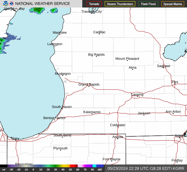
Link to Local Radar Data Link to Satellite Data

Hourly Weather Forecast

National Digital Forecast Database