Storm System to Move Across the Ohio Valley to the Mid-Atlantic and Northeast
Isolated severe thunderstorms will be possible on Veterans Day across parts of the lower Ohio and western Tennessee Valleys. A developing storm will bring rain and gusty winds to the Mid-Atlantic and Northeast on Thursday, with the first accumulating snow likely in the higher elevations of the central Appalachians and interior Northeast. Read More >

DW0414 Moran (D0414)
Lat: 43.84213°NLon: 110.50796°WElev: 6749.0ft.NA
28°F
-2°C
| Humidity | 89% |
| Wind Speed | N 0 MPH |
| Barometer | 30.29 in (1025.74 mb) |
| Dewpoint | 25°F (-4°C) |
| Visibility | NA |
| Last update | 11 Nov 08:46 PM MST |
12 Miles SW South Entrance WY
Tonight

Low: 29 °F
Partly Cloudy
Thursday

High: 50 °F
Sunny
Thursday Night

Low: 30 °F
Increasing
CloudsFriday

High: 46 °F
Decreasing
CloudsFriday Night
Low: 29 °F
Mostly Cloudy
Saturday

High: 38 °F
Rain/Snow
LikelySaturday Night
Low: 26 °F
Rain/Snow
Likely then
Chance Snow
ShowersSunday

High: 35 °F
Mostly Sunny
Sunday Night
Low: 24 °F
Partly Cloudy
Detailed Forecast
Additional Forecasts and Information
 Forecast Area
ABOUT THIS FORECAST
44°N 110.83°W (Elev. 7818 ft)


Additional Resources
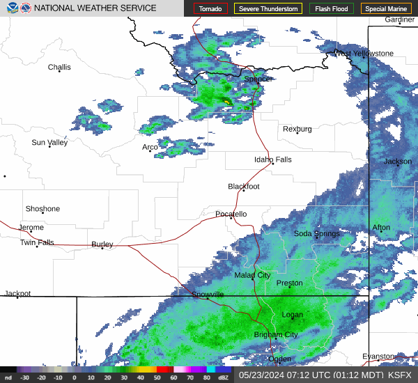
Radar & Satellite Image

Hourly Weather Forecast