



Extreme Heat and Excessive Rainfall Today
Dangerous and extreme heat will remain across portions of the southern U.S. through the weekend. A heat wave over the Southwest U.S. will intensify this week, peaking and expanding into the Intermountain West and northern High Plains this weekend. Multiple rounds of thunderstorms will produce heavy to excessive rainfall with significant flash flooding across portions of southern New England. Read More >

Hazardous Weather Conditions
Smiths Ferry (ITD36)
Lat: 44.30107°NLon: 116.08926°WElev: 4603.0ft.NA
53°F
12°C
| Humidity | 68% |
| Wind Speed | W 1 MPH |
| Barometer | NA |
| Dewpoint | 42°F (6°C) |
| Visibility | 1.24 mi |
| Last update | 30 Jul 02:00 AM MDT |
16 Miles ESE Cascade ID
Overnight

Low: 60 °F
Areas Smoke
Thursday

High: 82 °F
Patchy Smoke
Thursday Night
Low: 60 °F
Patchy Smoke
Friday
High: 86 °F
Patchy Smoke
Friday Night
Low: 64 °F
Patchy Smoke
Saturday
High: 85 °F
Patchy Smoke
Saturday Night
Low: 59 °F
Patchy Smoke
Sunday
High: 75 °F
Patchy Smoke
then SunnySunday Night

Low: 52 °F
Clear
Detailed Forecast
Additional Forecasts and Information
 Forecast Area
ABOUT THIS FORECAST
44.46°N 115.73°W (Elev. 6004 ft)


Additional Resources
Radar & Satellite Image
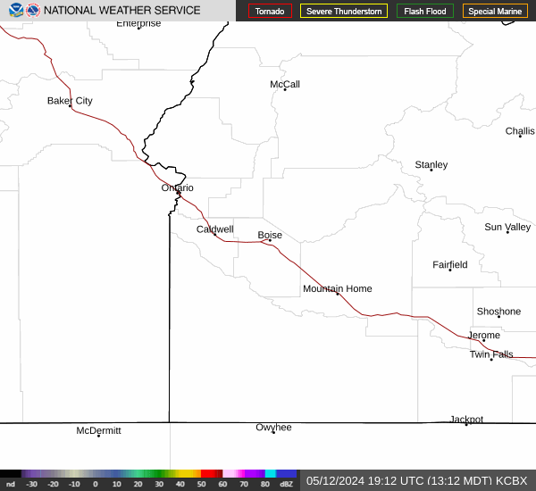

Hourly Weather Forecast


