



Strong Storms and Heavy Rainfall Threats; Dangerous Heat for Southern Plains into the Southwest
Thunderstorms, some severe, will impact areas of the Plains into the Midwest today. Rainfall can be locally heavy as well from these storms with isolated instances of flash flooding. Monsoonal flow will enhance rainfall across the Four Corners into the central Rockies today. Meanwhile, summer heat continues for the southern Plains, Southwest into southern California. Read More >

Smiths Ferry (ITD36)
Lat: 44.30107°NLon: 116.08926°WElev: 4603.0ft.NA
63°F
17°C
| Humidity | 55% |
| Wind Speed | ESE 1 MPH |
| Barometer | NA |
| Dewpoint | 46°F (8°C) |
| Visibility | 1.24 mi |
| Last update | 25 Aug 09:45 AM MDT |
24 Miles E Cascade ID
Today

High: 77 °F
Sunny
Tonight
Low: 44 °F
Partly Cloudy
then Patchy
SmokeWednesday
High: 78 °F
Patchy Smoke
then Partly
SunnyWednesday Night

Low: 44 °F
Partly Cloudy
Thursday

High: 76 °F
Mostly Sunny
Thursday Night
Low: 43 °F
Partly Cloudy
Friday
High: 71 °F
Mostly Sunny
then Chance
ShowersFriday Night

Low: 40 °F
Chance
ShowersSaturday

High: 67 °F
Chance
Showers
Detailed Forecast
Additional Forecasts and Information
 Forecast Area
ABOUT THIS FORECAST
44.54°N 115.57°W (Elev. 6906 ft)


Additional Resources
Radar & Satellite Image
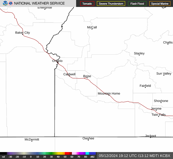

Hourly Weather Forecast


