Inclement Weather in the Pacific Northwest; Heavy Rain and Thunderstorms in Southern Texas
A series of cold fronts will continue to bring periods of gusty winds, low elevation rainfall, and high elevation snow to the Pacific Northwest this week. Heavy to excessive rainfall may produce areas of flooding over southern Texas through Monday morning. Read More >

Current conditions at
WHISKEY CREEK (WSKM8)
Lat: 44.61088°NLon: 111.14998°WElev: 6800.0ft.NA
26°F
-3°C
| Humidity | NA |
| Wind Speed | NA NA MPH |
| Barometer | NA |
| Dewpoint | N/A |
| Visibility | NA |
| Last update | NA |
Extended Forecast for
5 Miles WSW West Yellowstone MT
Today

High: 44 °F
Partly Sunny
Tonight

Low: 29 °F
Mostly Cloudy
Tuesday
High: 41 °F
Decreasing
CloudsTuesday Night

Low: 27 °F
Partly Cloudy
Veterans Day

High: 44 °F
Mostly Sunny
Wednesday Night
Low: 25 °F
Partly Cloudy
Thursday
High: 50 °F
Mostly Sunny
Thursday Night
Low: 29 °F
Partly Cloudy
Friday
High: 46 °F
Mostly Sunny
Detailed Forecast
Today
Partly sunny, with a high near 44. Light south southwest wind becoming southwest 6 to 11 mph in the afternoon. Winds could gust as high as 24 mph.
Tonight
Mostly cloudy, with a low around 29. Southwest wind 6 to 8 mph.
Tuesday
Mostly cloudy, then gradually becoming sunny, with a high near 41. Southwest wind 7 to 9 mph, with gusts as high as 22 mph.
Tuesday Night
Partly cloudy, with a low around 27. South southwest wind 5 to 7 mph becoming calm in the evening.
Veterans Day
Mostly sunny, with a high near 44. Calm wind becoming south southwest around 5 mph in the afternoon.
Wednesday Night
Partly cloudy, with a low around 25. Calm wind.
Thursday
Mostly sunny, with a high near 50. Light and variable wind.
Thursday Night
Partly cloudy, with a low around 29. Calm wind.
Friday
Mostly sunny, with a high near 46.
Friday Night
Partly cloudy, with a low around 29.
Saturday
A slight chance of rain and snow. Mostly sunny, with a high near 42.
Saturday Night
A slight chance of rain and snow. Partly cloudy, with a low around 30.
Sunday
A chance of rain and snow. Partly sunny, with a high near 42.
Additional Forecasts and Information
Basemap Options
Click map to change the forecast location
Loading map...
 Forecast Area
ABOUT THIS FORECAST
Point Forecast:
5 Miles WSW West Yellowstone MT
44.64°N 111.21°W (Elev. 7365 ft)
44.64°N 111.21°W (Elev. 7365 ft)
4:11 am MST Nov 9, 2026
6am MST Nov 9, 2026-6pm MST Nov 15, 2026


Additional Resources
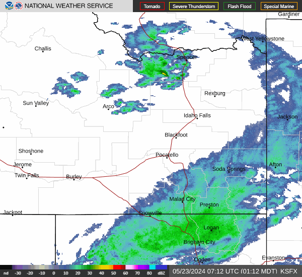
Radar & Satellite Image

Hourly Weather Forecast