

Flooding Risks from Tropical Moisture Across the Southeast and Southwest

Tropical moisture from Isaias and Rachel will impact portions of the Southeast and Southwest this weekend. Flash flooding, strong winds and even a threat for severe thunderstorms and tornadoes are possible. Meanwhile, strong winds and dry fuels are raising fire weather concerns across the central Great Basin and western High Plains. Across the northern Rockies, first winter storm of the season. Read More >

Current conditions at

Monument SWCD (MSWCD)

Lat: 44.80399°NLon: 119.40757°WElev: 2121.0ft.

NA

52°F

11°C

Humidity 43%
Wind Speed NNW 4 MPH
Barometer 29.77 in (1008.13 mb)
Dewpoint 30°F (-1°C)
Visibility NA
Last update 10 Oct 02:00 PM PDT
Extended Forecast for

Long Creek OR

  • This Afternoon

    This Afternoon: Mostly sunny, with a high near 48. Northwest wind around 9 mph.

    High: 48 °F

    Mostly Sunny

  • Tonight

    Tonight: Partly cloudy, with a low around 30. Northwest wind around 5 mph becoming calm  in the evening.

    Low: 30 °F

    Partly Cloudy

  • Sunday

    Sunday: Partly sunny, with a high near 43. Light and variable wind becoming north 6 to 11 mph in the morning. Winds could gust as high as 20 mph.

    High: 43 °F

    Partly Sunny

  • Sunday Night

    Sunday Night: A slight chance of rain and snow showers before 11pm, then a slight chance of snow showers after 2am.  Snow level 4500 feet lowering to 3800 feet after midnight . Mostly cloudy, with a low around 31. Northwest wind 5 to 9 mph, with gusts as high as 18 mph.  Chance of precipitation is 20%.

    Low: 31 °F

    Slight Chance
    Rain/Snow
    then Slight
    Chance Snow
    Showers

  • Columbus Day

    Columbus Day: Partly sunny, with a high near 49. Calm wind becoming northwest 5 to 7 mph in the afternoon.

    High: 49 °F

    Partly Sunny

  • Monday Night

    Monday Night: Mostly clear, with a low around 30.

    Low: 30 °F

    Mostly Clear

  • Tuesday

    Tuesday: Sunny, with a high near 57.

    High: 57 °F

    Sunny

  • Tuesday Night

    Tuesday Night: Mostly clear, with a low around 37.

    Low: 37 °F

    Mostly Clear

  • Wednesday

    Wednesday: Sunny, with a high near 62.

    High: 62 °F

    Sunny

Detailed Forecast

This Afternoon
Mostly sunny, with a high near 48. Northwest wind around 9 mph.
Tonight
Partly cloudy, with a low around 30. Northwest wind around 5 mph becoming calm in the evening.
Sunday
Partly sunny, with a high near 43. Light and variable wind becoming north 6 to 11 mph in the morning. Winds could gust as high as 20 mph.
Sunday Night
A slight chance of rain and snow showers before 11pm, then a slight chance of snow showers after 2am. Snow level 4500 feet lowering to 3800 feet after midnight . Mostly cloudy, with a low around 31. Northwest wind 5 to 9 mph, with gusts as high as 18 mph. Chance of precipitation is 20%.
Columbus Day
Partly sunny, with a high near 49. Calm wind becoming northwest 5 to 7 mph in the afternoon.
Monday Night
Mostly clear, with a low around 30.
Tuesday
Sunny, with a high near 57.
Tuesday Night
Mostly clear, with a low around 37.
Wednesday
Sunny, with a high near 62.
Wednesday Night
Mostly clear, with a low around 40.
Thursday
Sunny, with a high near 68.
Thursday Night
Mostly clear, with a low around 42.
Friday
Sunny, with a high near 72.
Basemap Options
Click map to change the forecast location
Loading map...

ABOUT THIS FORECAST

 
Point Forecast:
Long Creek OR
 44.71°N 119.09°W (Elev. 3780 ft)
1:53 pm PDT Oct 10, 2026
2pm PDT Oct 10, 2026-6pm PDT Oct 16, 2026
 
Get as KML Get as XML

Additional Resources

Radar & Satellite Image
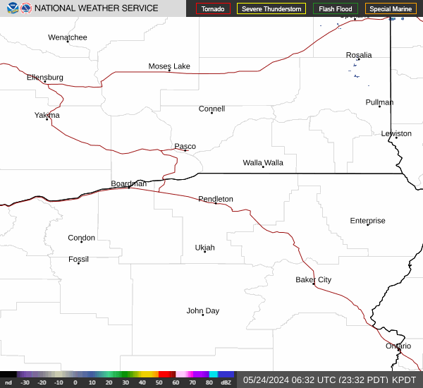
Link to Local Radar Data Link to Satellite Data

Hourly Weather Forecast

National Digital Forecast Database


