



Autumn Temperatures for Eastern Third of the Country; Developing Offshore Coastal Storm
Cooler and less humid conditions for most of the eastern third of the nation as high pressure dominates the weather pattern. Otherwise, rather tranquil weather for most of the nation for the end of the weekend into the start of this week. We continue to monitor a developing coastal storm offshore of the Carolinas; Coastal flooding and beach erosion possible along portions of the Mid-Atlantic. Read More >

I84 EB at Charles Reynolds Rest Area MP269.28 (ODT18)
Lat: 45.23381°NLon: 118.01328°WElev: 2874.0ft.NA
52°F
11°C
| Humidity | 73% |
| Wind Speed | WSW 0 MPH |
| Barometer | NA |
| Dewpoint | 44°F (7°C) |
| Visibility | NA |
| Last update | 18 Oct 10:19 AM PDT |
Granite OR
Today

High: 63 °F
Sunny
Tonight

Low: 41 °F
Increasing
CloudsMonday

High: 62 °F
Decreasing
CloudsMonday Night
Low: 37 °F
Mostly Cloudy
Tuesday
High: 63 °F
Partly Sunny
Tuesday Night

Low: 41 °F
Partly Cloudy
Wednesday
High: 63 °F
Partly Sunny
Wednesday Night

Low: 42 °F
Chance
ShowersThursday

High: 54 °F
Showers
Detailed Forecast
Additional Forecasts and Information
 Forecast Area
ABOUT THIS FORECAST
44.82°N 118.41°W (Elev. 4797 ft)


Additional Resources
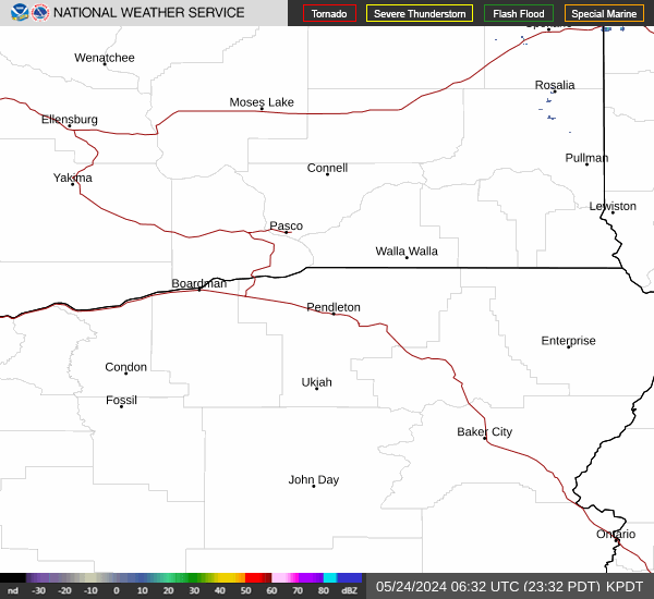
Radar & Satellite Image

Hourly Weather Forecast


