



Dangerous Heat over the South-Central and Southwest U.S. Through Next Week
Dangerous heat persists across the Desert Southwest through this weekend and across the Southern Plains and Lower Mississippi Valley through at least the middle of next week. Numerous daily record high temperatures are expected through at least Tuesday for much of Texas and Oklahoma as well as portions of Louisiana, New Mexico, and Arizona. Read More >

Hazardous Weather Conditions
USCRN SITE AT BANNACK STATE PARK NEAR DILLON 18WSW (BSPM8)
Lat: 45.15778°NLon: 113.00583°WElev: 5941.0ft.NA
56°F
13°C
| Humidity | 83% |
| Wind Speed | NA 2 MPH |
| Barometer | NA |
| Dewpoint | 50°F (10°C) |
| Visibility | NA |
| Last update | 22 Aug 11:10 PM MDT |
10 Miles E Grant MT
Overnight

Low: 52 °F
Mostly Cloudy
Sunday
High: 85 °F
Mostly Sunny
then Slight
Chance
T-storms and
BreezySunday Night
Low: 46 °F
Mostly Clear
then Patchy
SmokeMonday
High: 85 °F
Patchy Smoke
then Mostly
SunnyMonday Night
Low: 51 °F
Mostly Cloudy
Tuesday

High: 85 °F
Sunny
Tuesday Night
Low: 51 °F
Slight Chance
Showers then
Mostly CloudyWednesday
High: 85 °F
Partly Sunny
then Chance
ShowersWednesday Night
Low: 50 °F
Slight Chance
Showers then
Mostly Cloudy
Detailed Forecast
 Forecast Area
ABOUT THIS FORECAST
44.99°N 112.85°W (Elev. 5561 ft)


Additional Resources
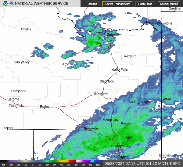
Radar & Satellite Image

Hourly Weather Forecast


