



Dangerous Heat in the Southwest; Severe Thunderstorms from the Central Plains into the Ohio Valley
Dangerous heat will build across the Southwest U.S. through the end of the week with daytime highs of 110-115°F. Isolated to widely scattered severe storms are expected across parts of the central and southern High Plains, Great Lakes into the Ohio Valley, and parts of the Ozarks to Lower Mississippi Valley today. Read More >

Hazardous Weather Conditions
Baker Municipal Airport (KBKE)
Lat: 44.84302°NLon: 117.80987°WElev: 3360.0ft.
Clear
53°F
12°C
| Humidity | 82% |
| Wind Speed | N 0 MPH |
| Barometer | 30.09 in (1018.96 mb) |
| Dewpoint | 48°F (9°C) |
| Visibility | 10.00 mi |
| Last update | 26 Aug 06:53 AM PDT |
11 Miles NNW Halfway OR
Today

High: 81 °F
Patchy Smoke
Tonight
Low: 63 °F
Patchy Smoke
then Mostly
CloudyThursday

High: 78 °F
Decreasing
CloudsThursday Night

Low: 55 °F
Partly Cloudy
Friday
High: 72 °F
Partly Sunny
Friday Night

Low: 53 °F
Chance
ShowersSaturday

High: 67 °F
Slight Chance
ShowersSaturday Night
Low: 46 °F
Partly Cloudy
Sunday

High: 68 °F
Sunny
Detailed Forecast
Additional Forecasts and Information
 Forecast Area
ABOUT THIS FORECAST
45.03°N 117.2°W (Elev. 5581 ft)


Additional Resources
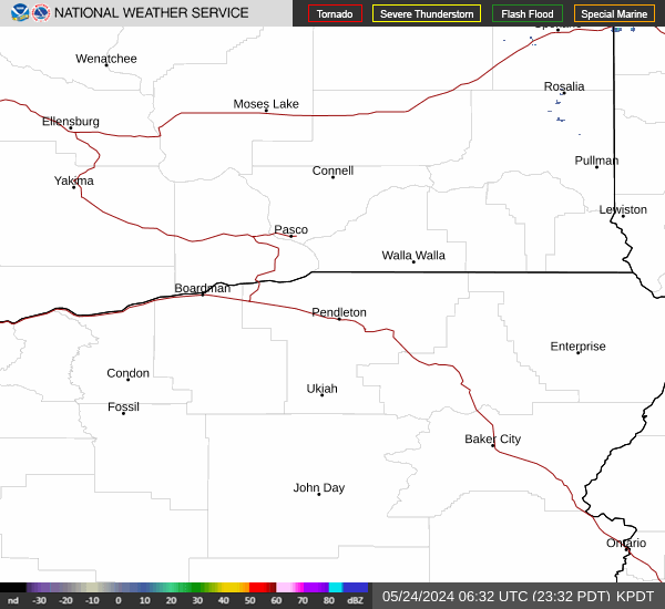
Radar & Satellite Image

Hourly Weather Forecast


