



Heavy Rainfall Threat Continues in the Southwest on Monday; Record Warmth in the Plains and Midwest
Remnant moisture from Tropical Storm Rachel will persist over portions of the Great Basin and Southwest on Monday, bringing a potential heavy to excessive rainfall risk. Well above average and potentially record breaking temperatures will develop across the Plains and Midwest early this week, spreading into the Lower Mississippi Valley and Southeast midweek. Read More >

Hazardous Weather Conditions
ENNIS (ENNM8)
Lat: 45.30215°NLon: 111.75415°WElev: 5056.0ft.NA
25°F
-4°C
| Humidity | 95% |
| Wind Speed | NNE 0 MPH |
| Barometer | NA |
| Dewpoint | 24°F (-4°C) |
| Visibility | NA |
| Last update | 12 Oct 09:16 PM MDT |
Jeffers MT
NOW until 12:00pm Tue

Dense Fog Advisory
Tonight
Low: 22 °F
Patchy Dense
FogTuesday
High: 40 °F
Patchy Dense
Fog then
Mostly SunnyTuesday Night
Low: 18 °F
Partly Cloudy
then Patchy
FogWednesday
High: 47 °F
Patchy Fog
then SunnyWednesday Night

Low: 25 °F
Mostly Clear
Thursday

High: 55 °F
Sunny
Thursday Night

Low: 26 °F
Clear
Friday

High: 66 °F
Sunny
Detailed Forecast
 Forecast Area
ABOUT THIS FORECAST
45.35°N 111.7°W (Elev. 4984 ft)


Additional Resources
Radar & Satellite Image
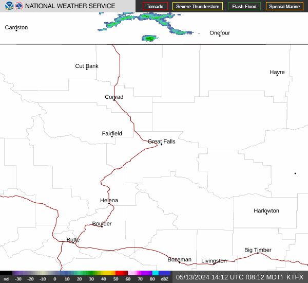

Hourly Weather Forecast


