



Thunderstorms and Heavy Rainfall in the Southeast, Montana, and Iowa; Lowell Begins to Impact Hawaii
Strong thunderstorms with damaging winds and heavy rain are expected across portions of the Southeast. Thunderstorms may produce large hail across portions of Montana. Heavy rainfall could produce flash flooding across Iowa and vulnerable areas in Utah. Lowell will bring heavy rain, dangerous swells and rip currents to portions of Hawaii. Sweltering heat persists across the South-Central US. Read More >

EW2137 Wasco (E2137)
Lat: 45.62733°NLon: 120.60017°WElev: 1426.41ft.NA
60°F
16°C
| Humidity | 72% |
| Wind Speed | W 9 MPH |
| Barometer | 29.92 in (1013.21 mb) |
| Dewpoint | 51°F (11°C) |
| Visibility | NA |
| Last update | 06 Sep 02:30 PM PDT |
Moro OR
This Afternoon

High: 58 °F
Slight Chance
ShowersTonight

Low: 48 °F
Decreasing
CloudsLabor Day

High: 67 °F
Sunny
Monday Night

Low: 46 °F
Mostly Clear
Tuesday

High: 72 °F
Sunny
Tuesday Night
Low: 53 °F
Mostly Clear
Wednesday
High: 79 °F
Sunny
Wednesday Night
Low: 56 °F
Mostly Clear
Thursday
High: 78 °F
Sunny
Detailed Forecast
Additional Forecasts and Information
 Forecast Area
ABOUT THIS FORECAST
45.49°N 120.74°W (Elev. 2001 ft)


Additional Resources
Radar & Satellite Image
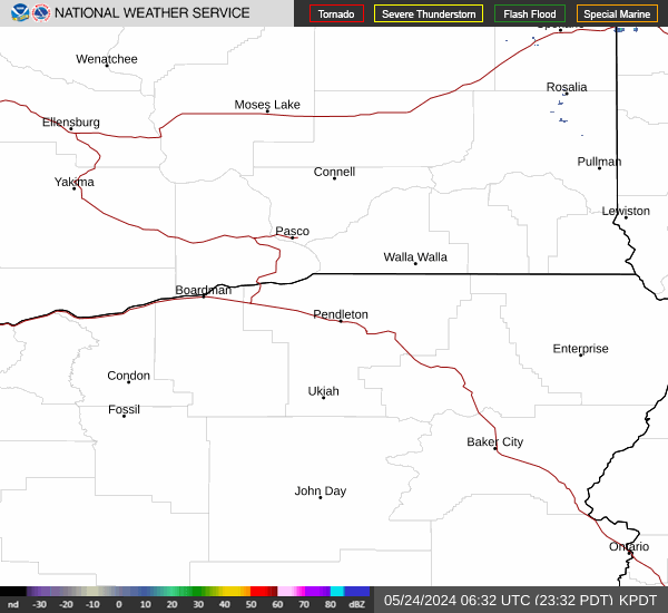

Hourly Weather Forecast


