Hazardous Weather Conditions
Current conditions at
Manitowish Waters Airport (KD25)
Lat: 46.12°NLon: 89.88°WElev: 1604ft.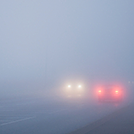
Fog/Mist
49°F
9°C
| Humidity | 99% |
| Wind Speed | S 8 mph |
| Barometer | 30.42 in |
| Dewpoint | 49°F (9°C) |
| Visibility | 5.00 mi |
| Wind Chill | 46°F (8°C) |
| Last update | 24 Sep 7:35 am CDT |
Extended Forecast for
8 Miles WNW Presque Isle WI
Today
High: 66 °F
Patchy Fog
then Mostly
CloudyTonight

Low: 49 °F
Mostly Cloudy
Friday

High: 71 °F
Mostly Sunny
Friday Night

Low: 46 °F
Partly Cloudy
Saturday
High: 70 °F
Mostly Sunny
Saturday Night
Low: 47 °F
Mostly Cloudy
then Slight
Chance
ShowersSunday

High: 67 °F
Partly Sunny
Sunday Night
Low: 47 °F
Mostly Cloudy
Monday
High: 71 °F
Partly Sunny
Detailed Forecast
Today
Patchy fog between 8am and 10am. Otherwise, mostly cloudy, with a high near 66. South wind 5 to 9 mph.
Tonight
Mostly cloudy, with a low around 49. Light south wind.
Friday
Mostly sunny, with a high near 71. Light south wind.
Friday Night
Partly cloudy, with a low around 46. Calm wind.
Saturday
Mostly sunny, with a high near 70. Light south southeast wind increasing to 5 to 9 mph in the morning.
Saturday Night
A 20 percent chance of showers after 1am. Mostly cloudy, with a low around 47.
Sunday
Partly sunny, with a high near 67.
Sunday Night
Mostly cloudy, with a low around 47.
Monday
Partly sunny, with a high near 71.
Monday Night
A 20 percent chance of showers after 1am. Mostly cloudy, with a low around 50.
Tuesday
Showers likely. Mostly cloudy, with a high near 66. Chance of precipitation is 60%.
Tuesday Night
Showers likely. Cloudy, with a low around 48. Chance of precipitation is 60%.
Wednesday
A 40 percent chance of showers. Mostly cloudy, with a high near 61.
Additional Forecasts and Information
Basemap Options
Click map to change the forecast location
Loading map...
 Forecast Area
ABOUT THIS FORECAST
Point Forecast:
8 Miles WNW Presque Isle WI
46.28°N 89.88°W (Elev. 1650 ft)
46.28°N 89.88°W (Elev. 1650 ft)
2:36 am CDT Sep 24, 2026
7am CDT Sep 24, 2026-6pm CDT Sep 30, 2026


Additional Resources
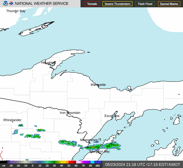
Radar & Satellite Image

Hourly Weather Forecast