



Dangerous Heat in the Southwest; Severe Thunderstorms and Heavy Rain in the Northeast and Mid-Atlantic
Dangerous heat will persist across the Southwest U.S. through Friday with daytime highs of 110-115°F. Heat across the southern Plains will briefly ease to near-normal by late week. Strong to severe thunderstorms may produce damaging wind, hail, a tornado or two, heavy rain and flash flooding across parts of the Mid-Atlantic and Northeast. Heavy rainfall threat continues across the Gulf Coast. Read More >

HORSE THIEF (HORM8)
Lat: 46.42581°NLon: 108.6745°WElev: 3414.0ft.NA
84°F
29°C
| Humidity | 27% |
| Wind Speed | SW 4 MPH |
| Barometer | NA |
| Dewpoint | 46°F (8°C) |
| Visibility | NA |
| Heat Index | 82°F (28°C) |
| Last update | 27 Aug 10:39 AM MDT |
Ryegate MT
Today

High: 96 °F
Slight Chance
T-stormsTonight
Low: 59 °F
Chance
Showers then
Mostly CloudyFriday

High: 87 °F
Chance
ShowersFriday Night

Low: 56 °F
Chance
ShowersSaturday
High: 81 °F
Chance
ShowersSaturday Night
Low: 52 °F
Showers then
Chance
ShowersSunday

High: 77 °F
Chance
ShowersSunday Night

Low: 46 °F
Mostly Clear
Monday

High: 80 °F
Sunny
Detailed Forecast
Additional Forecasts and Information
 Forecast Area
ABOUT THIS FORECAST
46.29°N 109.25°W (Elev. 3776 ft)


Additional Resources
Radar & Satellite Image
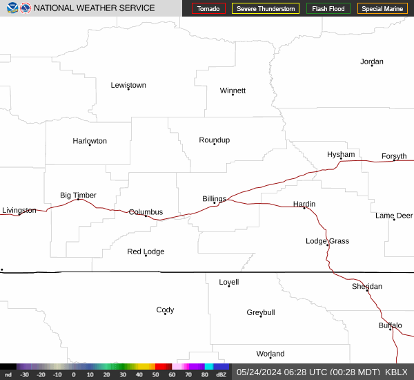

Hourly Weather Forecast


