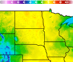
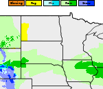
Severe Thunderstorms and Heavy Rain from the Plains to the Mid-Atlantic; Ongoing Heat in the South
Severe thunderstorms and showers pose a risk for excessive rain, localized flash flooding, strong gusts and/or large hail across portions of the northern and central Plains, the Lower Missouri to Lower Ohio Valleys, and across the Mid-Atlantic this afternoon and evening. Extreme heat is ongoing over the Desert Southwest and the Southeast U.S.. Read More >

Hazardous Weather Conditions
Hettinger, Hettinger Municipal Airport (KHEI)
Lat: 46.01°NLon: 102.65°WElev: 2703ft.
Fair
87°F
31°C
| Humidity | 32% |
| Wind Speed | S 14 mph |
| Barometer | 29.84 in (1008.4 mb) |
| Dewpoint | 54°F (12°C) |
| Visibility | 10.00 mi |
| Heat Index | 85°F (29°C) |
| Last update | 9 Jul 5:53 pm MDT |
4 Miles SW Mott ND
NOW until 11:00pm Thu
Severe T-storm Watch
Tonight
Low: 58 °F
Severe
Thunderstorms
then Mostly
ClearFriday

High: 91 °F
Hot
Friday Night

Low: 64 °F
Mostly Clear
Saturday

High: 98 °F
Hot and
BreezySaturday Night
Low: 69 °F
Mostly Clear
Sunday
High: 106 °F
Sunny then
Sunny and
BreezySunday Night

Low: 73 °F
Mostly Clear
and BreezyMonday

High: 102 °F
Hot and
Breezy
Detailed Forecast
 Forecast Area
ABOUT THIS FORECAST
46.33°N 102.39°W


Additional Resources
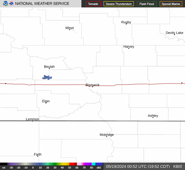
Radar & Satellite Image

Hourly Weather Forecast