Tropical Storm Edouard Impacting the Northwestern Gulf Coast; Hazardous Heat expands in the East

Tropical Storm Edouard will impact the northwestern Gulf Coast through Wednesday with gusty winds, storm surge, and heavy rainfall. Flash and river flooding will be possible, especially in southeastern Texas. Hazardous heat will expand across the central and eastern U.S. by mid-week, and daily chances for severe thunderstorms are expected from the eastern Great Lakes to the Mid-Atlantic this week. Read More >

Current conditions at

CARRINGTON (K46D)

Lat: 47.45°NLon: 99.15°WElev: 1608ft.

Fair

63°F

17°C

Humidity 100%
Wind Speed Calm
Barometer 29.96 in
Dewpoint 63°F (17°C)
Visibility 10.00 mi
Last update 1 Sep 10:35 pm CDT
Extended Forecast for

Pettibone ND

  • Tonight

    Tonight: Mostly cloudy, with a low around 55. Light east wind.

    Low: 55 °F

    Mostly Cloudy

  • Wednesday

    Wednesday: Sunny, with a high near 80. Southeast wind 5 to 15 mph, with gusts as high as 22 mph.

    High: 80 °F

    Sunny

  • Wednesday Night

    Wednesday Night: Increasing clouds, with a low around 60. East wind 14 to 17 mph, with gusts as high as 25 mph.

    Low: 60 °F

    Increasing
    Clouds

  • Thursday

    Thursday: Mostly cloudy, then gradually becoming sunny, with a high near 86. Breezy, with a south wind 14 to 21 mph, with gusts as high as 30 mph.

    High: 86 °F

    Partly Sunny
    and Breezy
    then Mostly
    Sunny

  • Thursday Night

    Thursday Night: Mostly clear, with a low around 59. Northeast wind 6 to 10 mph.

    Low: 59 °F

    Mostly Clear

  • Friday

    Friday: Mostly sunny and hot, with a high near 90. Breezy, with an east wind 8 to 13 mph increasing to 16 to 21 mph in the afternoon. Winds could gust as high as 29 mph.

    High: 90 °F

    Mostly Sunny
    then Sunny
    and Breezy

  • Friday Night

    Friday Night: A 30 percent chance of showers and thunderstorms after 1am.  Partly cloudy, with a low around 66. Southeast wind 13 to 17 mph, with gusts as high as 26 mph.

    Low: 66 °F

    Partly Cloudy
    then Chance
    T-storms

  • Saturday

    Saturday: A slight chance of showers and thunderstorms before 1pm.  Mostly sunny, with a high near 89. East wind 13 to 17 mph, with gusts as high as 24 mph.

    High: 89 °F

    Slight Chance
    T-storms

  • Saturday Night

    Saturday Night: A slight chance of showers and thunderstorms before 1am.  Partly cloudy, with a low around 60. Northeast wind 11 to 15 mph, with gusts as high as 21 mph.

    Low: 60 °F

    Slight Chance
    T-storms

Detailed Forecast

Tonight
Mostly cloudy, with a low around 55. Light east wind.
Wednesday
Sunny, with a high near 80. Southeast wind 5 to 15 mph, with gusts as high as 22 mph.
Wednesday Night
Increasing clouds, with a low around 60. East wind 14 to 17 mph, with gusts as high as 25 mph.
Thursday
Mostly cloudy, then gradually becoming sunny, with a high near 86. Breezy, with a south wind 14 to 21 mph, with gusts as high as 30 mph.
Thursday Night
Mostly clear, with a low around 59. Northeast wind 6 to 10 mph.
Friday
Mostly sunny and hot, with a high near 90. Breezy, with an east wind 8 to 13 mph increasing to 16 to 21 mph in the afternoon. Winds could gust as high as 29 mph.
Friday Night
A 30 percent chance of showers and thunderstorms after 1am. Partly cloudy, with a low around 66. Southeast wind 13 to 17 mph, with gusts as high as 26 mph.
Saturday
A slight chance of showers and thunderstorms before 1pm. Mostly sunny, with a high near 89. East wind 13 to 17 mph, with gusts as high as 24 mph.
Saturday Night
A slight chance of showers and thunderstorms before 1am. Partly cloudy, with a low around 60. Northeast wind 11 to 15 mph, with gusts as high as 21 mph.
Sunday
Mostly sunny, with a high near 80. Northeast wind 14 to 17 mph, with gusts as high as 24 mph.
Sunday Night
A chance of showers. Mostly cloudy, with a low around 55. Northeast wind 14 to 17 mph, with gusts as high as 24 mph.
Labor Day
A chance of showers. Mostly cloudy, with a high near 76. Breezy, with an east wind 16 to 22 mph, with gusts as high as 31 mph.
Monday Night
A chance of showers. Mostly cloudy, with a low around 56. Breezy, with an east wind 16 to 21 mph, with gusts as high as 29 mph.
Tuesday
A chance of showers. Partly sunny, with a high near 76. Breezy.
Basemap Options
Click map to change the forecast location
Loading map...

ABOUT THIS FORECAST

 
Point Forecast:
Pettibone ND
 47.12°N 99.52°W
10:36 pm CDT Sep 1, 2026
11pm CDT Sep 1, 2026-6pm CDT Sep 8, 2026
 
Get as KML Get as XML

Additional Resources

Radar & Satellite Image
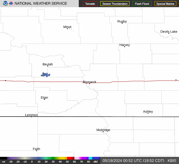
Link to Local Radar Data Link to Satellite Data

Hourly Weather Forecast

National Digital Forecast Database