



Flooding Risks from Tropical Moisture Across the Intermountain West and East Coast
Tropical moisture from Isaias and Rachel will impact portions of the Intermountain West and East Coast states. Flooding, gusty winds and even a threat for severe thunderstorms and tornadoes are possible. Meanwhile, record warmth will spread northward across the Mississippi Valley the next few days. Looking for snow, the first winter storm of the season is underway across the northern Rockies. Read More >

Hazardous Weather Conditions
Geyser (MTGYS)
Lat: 47.25°NLon: 110.48°WElev: 4221.0ft.unknown precip
31°F
-1°C
| Humidity | 99% |
| Wind Speed | NW 0 MPH |
| Barometer | NA |
| Dewpoint | 31°F (-1°C) |
| Visibility | NA |
| Last update | 11 Oct 10:00 AM MDT |
Stanford MT
NOW until 6:00am Mon

Winter Storm Warning
Today

High: 33 °F
Rain/Snow
Tonight
Low: 24 °F
Rain/Snow
then SnowColumbus Day
High: 36 °F
Snow Likely
then CloudyMonday Night

Low: 22 °F
Decreasing
CloudsTuesday

High: 44 °F
Sunny
Tuesday Night

Low: 27 °F
Mostly Clear
Wednesday
High: 50 °F
Sunny
Wednesday Night
Low: 32 °F
Mostly Clear
Detailed Forecast
 Forecast Area
ABOUT THIS FORECAST
47.16°N 110.22°W (Elev. 4291 ft)


Additional Resources
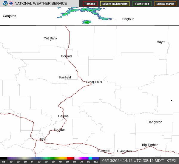
Radar & Satellite Image

Hourly Weather Forecast


