



Dangerous Heat and Possible Flooding
Dangerous heat will persist across the Southwest U.S. through Saturday with daytime highs of 110-115°F. Extreme Heat Warnings remain in effect. Dangerous heat will build across the southern Plains again beginning this weekend. Heavy to excessive rain over the Carolinas Friday may lead to isolated areas of flash flooding. Read More >

JUDITH PEAK (JPKM8)
Lat: 47.21753°NLon: 109.22281°WElev: 6428.0ft.NA
68°F
20°C
| Humidity | 29% |
| Wind Speed | S 2 MPH |
| Barometer | NA |
| Dewpoint | 34°F (1°C) |
| Visibility | NA |
| Last update | 28 Aug 10:52 AM MDT |
4 Miles SW Hilger MT
Today

High: 82 °F
Slight Chance
ShowersTonight

Low: 57 °F
Slight Chance
ShowersSaturday

High: 77 °F
Chance
ShowersSaturday Night

Low: 50 °F
Showers
LikelySunday

High: 67 °F
Showers
Sunday Night
Low: 44 °F
Partly Cloudy
and Breezy
then Mostly
ClearMonday

High: 75 °F
Sunny
Monday Night

Low: 50 °F
Mostly Clear
Tuesday
High: 82 °F
Sunny
Detailed Forecast
 Forecast Area
ABOUT THIS FORECAST
47.22°N 109.42°W (Elev. 3999 ft)


Additional Resources
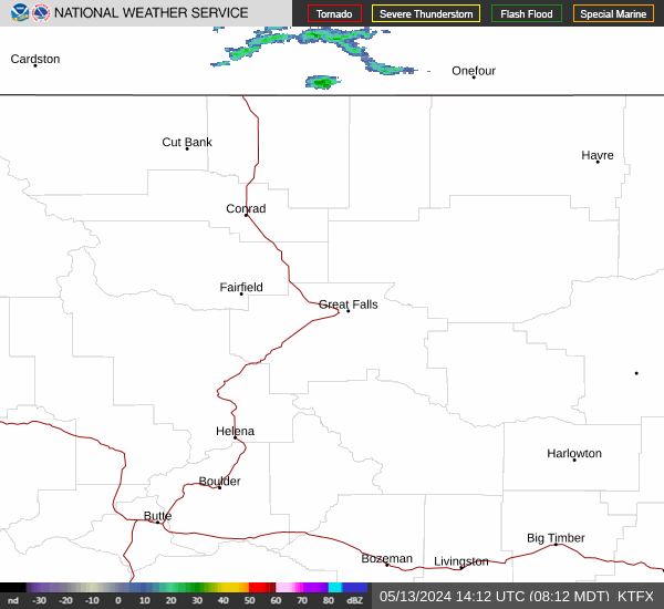
Radar & Satellite Image

Hourly Weather Forecast


