



Heavy Rainfall and Flooding Threats in the Midwest and Ohio Valley; Heat Continues in the Plains and Southeast
An active pattern will continue to bring heavy to excessive rainfall and flash flooding threats to the Midwest and Ohio Valley over the next couple of days. Dangerous heat continues across the central/southern Plains and Southeast U.S. into next week. There is potential for record-tying/breaking temperatures with many areas forecast to see their hottest temperatures so far this year. Read More >

CONDON WORK CENTER (CONM8)
Lat: 47.53611°NLon: 113.71722°WElev: 3684.0ft.NA
71°F
22°C
| Humidity | 46% |
| Wind Speed | NW 5 MPH |
| Barometer | NA |
| Dewpoint | 49°F (9°C) |
| Visibility | NA |
| Last update | 13 Aug 08:08 PM MDT |
19 Miles ESE Condon MT
Tonight
Low: 45 °F
Showers
Likely then
Chance
ShowersFriday
High: 50 °F
Showers
Likely then
ShowersFriday Night
Low: 43 °F
Chance
T-storms then
Partly CloudySaturday
High: 60 °F
Patchy Smoke
then SunnySaturday Night

Low: 46 °F
Partly Cloudy
Sunday

High: 62 °F
Mostly Sunny
Sunday Night

Low: 48 °F
Mostly Cloudy
Monday
High: 61 °F
Partly Sunny
then Slight
Chance
T-stormsMonday Night

Low: 47 °F
Chance
Showers
Detailed Forecast
 Forecast Area
ABOUT THIS FORECAST
47.46°N 113.34°W (Elev. 7402 ft)


Additional Resources
Radar & Satellite Image
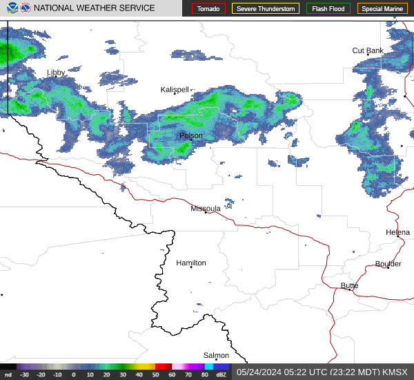

Hourly Weather Forecast


