



Areas of Extreme Heat and Excessive Rainfall Potential
Dangerous and extreme heat will remain across portions of the central U.S. this week, persisting across the mid to lower Mississippi Valley, Gulf Coast, southern Plains and portions of Texas. A heat wave over the Southwest U.S. will peak this weekend. Heavy to excessive rainfall may produce flash flooding from the Delmarva Peninsula north into the Hudson Valley today and tonight. Read More >

Hazardous Weather Conditions
BENCHMARK (BEFM8)
Lat: 47.49526°NLon: 112.88453°WElev: 5374.0ft.NA
83°F
28°C
| Humidity | 20% |
| Wind Speed | WNW 7 MPH |
| Barometer | NA |
| Dewpoint | 38°F (3°C) |
| Visibility | NA |
| Heat Index | 81°F (27°C) |
| Last update | 28 Jul 01:08 PM MDT |
29 Miles E Condon MT
This Afternoon

High: 72 °F
Areas Smoke
Tonight

Low: 51 °F
Patchy Smoke
Wednesday
High: 72 °F
Areas Smoke
Wednesday Night
Low: 52 °F
Patchy Smoke
Thursday
High: 72 °F
Areas Smoke
then SunnyThursday Night
Low: 52 °F
Mostly Clear
then Slight
Chance
ShowersFriday

High: 74 °F
Sunny
Friday Night

Low: 55 °F
Clear
Saturday
High: 76 °F
Sunny
Detailed Forecast
 Forecast Area
ABOUT THIS FORECAST
47.53°N 113.1°W (Elev. 7523 ft)


Additional Resources
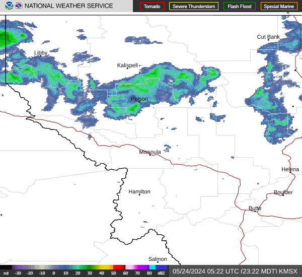
Radar & Satellite Image

Hourly Weather Forecast


