



Showers and Storms in the East; Dangerously Hot and Dry in the West
Scattered showers and storms are expected across portions of the Central and Eastern U.S. through the end of the week. Meanwhile, dangerous heat will intensify across the Desert Southwest and Intermountain West. Hot, dry weather and increasing winds will allow elevated wildfire conditions to return to the northern Intermountain West, where air quality issues persist from ongoing fires. Read More >

Hazardous Weather Conditions
CONDON WORK CENTER (CONM8)
Lat: 47.53611°NLon: 113.71722°WElev: 3684.0ft.NA
54°F
12°C
| Humidity | 64% |
| Wind Speed | SE 2 MPH |
| Barometer | NA |
| Dewpoint | 42°F (6°C) |
| Visibility | NA |
| Last update | 09 Aug 01:08 AM MDT |
24 Miles E Condon MT
Overnight

Low: 52 °F
Areas Smoke
Sunday

High: 69 °F
Smoke
Sunday Night
Low: 52 °F
Smoke
Monday
High: 67 °F
Smoke then
SunnyMonday Night

Low: 50 °F
Mostly Clear
Tuesday

High: 67 °F
Sunny
Tuesday Night
Low: 51 °F
Mostly Clear
Wednesday
High: 65 °F
Sunny then
Slight Chance
RainWednesday Night
Low: 49 °F
Slight Chance
T-storms then
Slight Chance
Rain
Detailed Forecast
 Forecast Area
ABOUT THIS FORECAST
47.56°N 113.2°W (Elev. 7087 ft)


Additional Resources
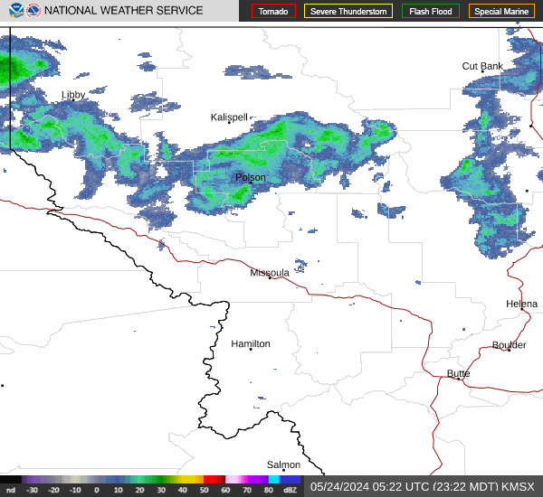
Radar & Satellite Image

Hourly Weather Forecast


