



Record Heat for the Intermountain West and Northern Plains; Heavy Rainfall and Severe Weather Threats
Record setting heat is expected over the next several days from the Intermountain West through the northern Plains. Furthermore, fire weather concerns increase with dry and breezy conditions. Meanwhile, heavy rainfall and severe thunderstorm threats for the Ohio/Tennessee Valleys, central Appalachians and Southeast today. The threat shifts to central Gulf Coast and across central Texas this week. Read More >

CONDON WORK CENTER (CONM8)
Lat: 47.53611°NLon: 113.71722°WElev: 3684.0ft.NA
86°F
30°C
| Humidity | 30% |
| Wind Speed | NNE 3 MPH |
| Barometer | NA |
| Dewpoint | 51°F (11°C) |
| Visibility | NA |
| Heat Index | 84°F (29°C) |
| Last update | 12 Jul 01:08 PM MDT |
31 Miles NE Condon MT
This Afternoon

High: 71 °F
Partly Sunny
Tonight

Low: 53 °F
Mostly Cloudy
Monday
High: 73 °F
Partly Sunny
Monday Night
Low: 57 °F
Slight Chance
Rain then
Mostly CloudyTuesday
High: 70 °F
Slight Chance
Rain then
Showers
LikelyTuesday Night

Low: 54 °F
Showers
LikelyWednesday

High: 69 °F
Showers
LikelyWednesday Night
Low: 52 °F
Chance Rain
then Mostly
ClearThursday
High: 71 °F
Sunny then
Chance Rain
Detailed Forecast
 Forecast Area
ABOUT THIS FORECAST
47.78°N 113.15°W (Elev. 6988 ft)


Additional Resources
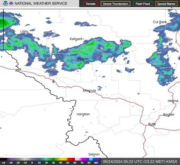
Radar & Satellite Image

Hourly Weather Forecast


