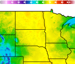
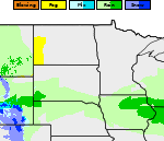
Areas of Severe Thunderstorms and Excessive Rainfall; Heat Wave Builds in the Intermountain West and Plains
A slow moving front will bring rounds of strong to severe thunderstorms and heavy rainfall to the central Plains eastward to the east-central U.S.. The first widespread significant heat wave of summer for the Intermountain West and Plains is expected to develop today and expand through next week. Dangerous heat will continue to impact portions of the Southwest and Southeast. Read More >

Hazardous Weather Conditions
WATFORD CITY (KS25)
Lat: 47.8°NLon: 103.25°WElev: 2113ft.88°F
31°C
| Humidity | 49% |
| Wind Speed | E 16 mph |
| Barometer | 29.86 in |
| Dewpoint | 66°F (19°C) |
| Visibility | 10.00 mi |
| Heat Index | 91°F (33°C) |
| Last update | 10 Jul 6:15 pm CDT |
9 Miles NNW Mandaree ND
Tonight

Low: 65 °F
Mostly Clear
Saturday

High: 98 °F
Hot
Saturday Night
Low: 70 °F
Mostly Clear
Sunday
High: 104 °F
Hot
Sunday Night

Low: 75 °F
Mostly Clear
and BreezyMonday
High: 100 °F
Hot
Monday Night
Low: 68 °F
Mostly Clear
Tuesday

High: 92 °F
Hot and
BreezyTuesday Night
Low: 65 °F
Mostly Clear
and Windy
then Slight
Chance
Showers and
Breezy
Detailed Forecast
 Forecast Area
ABOUT THIS FORECAST
47.86°N 102.73°W


Additional Resources
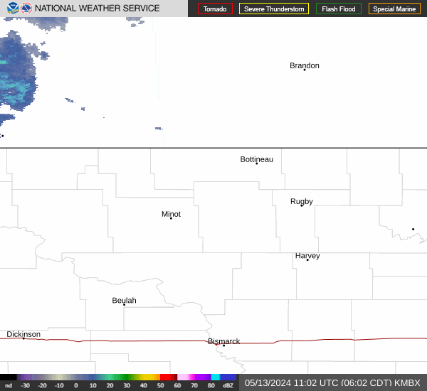
Radar & Satellite Image

Hourly Weather Forecast