Emergency Alert Test scheduled Nov 17, 2026
Nationwide test of Emergency Alert System on Nov 17, 2026 at 2:20 pm ET / 11:20 am PT. Read More >

Current conditions at
WELLPINIT (WPRW1)
Lat: 47.87631°NLon: 118.09608°WElev: 2240.0ft.NA
38°F
3°C
| Humidity | 98% |
| Wind Speed | N 1 MPH |
| Barometer | NA |
| Dewpoint | 37°F (3°C) |
| Visibility | NA |
| Last update | 16 Nov 10:08 PM PST |
Extended Forecast for
13 Miles SSW Springdale WA
Tonight

Low: 32 °F
Areas Fog
Tuesday

High: 45 °F
Areas
Freezing Fog
and Areas FogTuesday Night
Low: 29 °F
Patchy
Freezing Fog
and Patchy
FogWednesday
High: 43 °F
Patchy
Freezing Fog
and Patchy
Fog then
Mostly CloudyWednesday Night
Low: 32 °F
Chance Rain
then Chance
Rain/SnowThursday
High: 42 °F
Slight Chance
Rain/Snow
then Partly
SunnyThursday Night

Low: 28 °F
Mostly Cloudy
Friday

High: 40 °F
Partly Sunny
Friday Night
Low: 29 °F
Mostly Cloudy
Detailed Forecast
Tonight
Areas of fog. Otherwise, cloudy, with a low around 32. Calm wind.
Tuesday
Areas of fog before noon, then patchy fog after 5pm. Areas of freezing fog before 8am. Otherwise, cloudy through mid morning, then gradual clearing, with a high near 45. Calm wind.
Tuesday Night
Patchy fog. Patchy freezing fog after midnight. Otherwise, partly cloudy, with a low around 29. Calm wind.
Wednesday
Patchy fog before 10am. Patchy freezing fog before 7am. Otherwise, increasing clouds, with a high near 43. Northeast wind 3 to 7 mph.
Wednesday Night
A chance of rain before 4am, then a slight chance of rain and snow. Snow level 3400 feet lowering to 2800 feet after midnight . Cloudy, with a low around 32. North wind 3 to 6 mph. Chance of precipitation is 40%. Little or no snow accumulation expected.
Thursday
A slight chance of rain and snow before 10am. Snow level 2400 feet rising to 3200 feet in the afternoon. Mostly cloudy, with a high near 42. Chance of precipitation is 20%.
Thursday Night
Mostly cloudy, with a low around 28.
Friday
Partly sunny, with a high near 40.
Friday Night
Mostly cloudy, with a low around 29.
Saturday
A 30 percent chance of rain after 4pm. Snow level rising to 2600 feet in the afternoon. Mostly cloudy, with a high near 41.
Saturday Night
A chance of rain and snow. Snow level 2000 feet. Mostly cloudy, with a low around 29. Chance of precipitation is 50%.
Sunday
A chance of rain and snow. Snow level rising to 2300 feet in the afternoon. Mostly cloudy, with a high near 39. Chance of precipitation is 40%.
Sunday Night
A slight chance of rain and snow. Snow level 2100 feet. Mostly cloudy, with a low around 29. Chance of precipitation is 20%.
Monday
A slight chance of rain and snow. Snow level rising to 2500 feet in the afternoon. Mostly cloudy, with a high near 40. Chance of precipitation is 20%.
Additional Forecasts and Information
Basemap Options
Click map to change the forecast location
Loading map...
 Forecast Area
ABOUT THIS FORECAST
Point Forecast:
13 Miles SSW Springdale WA
47.89°N 117.84°W (Elev. 1804 ft)
47.89°N 117.84°W (Elev. 1804 ft)
10:47 pm PST Nov 16, 2026
11pm PST Nov 16, 2026-6pm PST Nov 23, 2026


Additional Resources
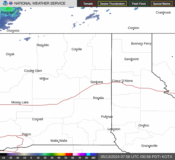
Radar & Satellite Image

Hourly Weather Forecast