Storm System to Move Across the Ohio Valley to the Mid-Atlantic and Northeast
Isolated severe thunderstorms will be possible on Veterans Day across parts of the lower Ohio and western Tennessee Valleys. A developing storm will bring rain and gusty winds to the Mid-Atlantic and Northeast on Thursday, with the first accumulating snow likely in the higher elevations of the central Appalachians and interior Northeast. Read More >

WEST GLACIER (WGRM8)
Lat: 48.51061°NLon: 113.99677°WElev: 3165.0ft.NA
45°F
7°C
| Humidity | 100% |
| Wind Speed | SW 0 MPH |
| Barometer | NA |
| Dewpoint | 45°F (7°C) |
| Visibility | NA |
| Last update | 11 Nov 12:12 AM MST |
West Glacier MT
Overnight

Low: 37 °F
Slight Chance
Showers and
Areas FogVeterans Day
High: 53 °F
Areas Fog
then Partly
SunnyWednesday Night

Low: 35 °F
Areas Fog
Thursday
High: 52 °F
Areas Fog
then Mostly
CloudyThursday Night
Low: 35 °F
Areas Fog
Friday
High: 49 °F
Areas Fog
then Mostly
SunnyFriday Night

Low: 34 °F
Partly Cloudy
Saturday

High: 48 °F
Mostly Sunny
Saturday Night

Low: 33 °F
Mostly Cloudy
Detailed Forecast
 Forecast Area
ABOUT THIS FORECAST
48.48°N 113.99°W (Elev. 3550 ft)


Additional Resources
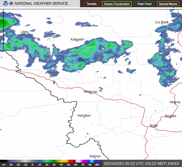
Radar & Satellite Image

Hourly Weather Forecast