

Strong Storms and Heavy Rainfall Threats; Dangerous Heat for Southern Plains into the Southwest

Thunderstorms, some severe, will impact areas of the Plains into the Midwest today. Rainfall can be locally heavy as well from these storms with isolated instances of flash flooding. Monsoonal flow will enhance rainfall across the Four Corners into the central Rockies today. Meanwhile, summer heat continues for the southern Plains, Southwest into southern California. Read More >

Current conditions at

BLACKFEET (BFAM)

Lat: 48.675°NLon: 112.58889°WElev: 3905.0ft.

NA

43°F

6°C

Humidity 91%
Wind Speed WSW 2 MPH
Barometer NA
Dewpoint 40°F (4°C)
Visibility NA
Last update 25 Aug 07:30 AM MDT
Extended Forecast for

12 Miles WNW Cut Bank MT

  • Today

    Today: Sunny, with a high near 77. Light and variable wind becoming southeast 8 to 13 mph in the morning. Winds could gust as high as 23 mph.

    High: 77 °F

    Sunny

  • Tonight

    Tonight: Mostly clear, with a low around 48. East southeast wind 9 to 14 mph becoming light southeast  after midnight. Winds could gust as high as 22 mph.

    Low: 48 °F

    Mostly Clear

  • Wednesday

    Wednesday: Sunny, with a high near 85. Light east southeast wind becoming southeast 6 to 11 mph in the morning. Winds could gust as high as 21 mph.

    High: 85 °F

    Sunny

  • Wednesday Night

    Wednesday Night: Mostly cloudy, with a low around 52. Southeast wind 6 to 11 mph becoming light and variable  after midnight. Winds could gust as high as 20 mph.

    Low: 52 °F

    Mostly Cloudy

  • Thursday

    Thursday: A slight chance of showers between noon and 3pm, then a slight chance of showers and thunderstorms after 3pm.  Mostly sunny, with a high near 87. Light and variable wind becoming south 6 to 11 mph in the afternoon. Winds could gust as high as 24 mph.  Chance of precipitation is 20%.

    High: 87 °F

    Mostly Sunny
    then Slight
    Chance
    T-storms

  • Thursday Night

    Thursday Night: Partly cloudy, with a low around 52. West southwest wind 10 to 14 mph, with gusts as high as 23 mph.

    Low: 52 °F

    Partly Cloudy

  • Friday

    Friday: Sunny, with a high near 78. West southwest wind 11 to 20 mph, with gusts as high as 33 mph.

    High: 78 °F

    Sunny

  • Friday Night

    Friday Night: Partly cloudy, with a low around 48. West southwest wind 8 to 17 mph, with gusts as high as 30 mph.

    Low: 48 °F

    Partly Cloudy

  • Saturday

    Saturday: Mostly sunny, with a high near 73.

    High: 73 °F

    Mostly Sunny

Detailed Forecast

Today
Sunny, with a high near 77. Light and variable wind becoming southeast 8 to 13 mph in the morning. Winds could gust as high as 23 mph.
Tonight
Mostly clear, with a low around 48. East southeast wind 9 to 14 mph becoming light southeast after midnight. Winds could gust as high as 22 mph.
Wednesday
Sunny, with a high near 85. Light east southeast wind becoming southeast 6 to 11 mph in the morning. Winds could gust as high as 21 mph.
Wednesday Night
Mostly cloudy, with a low around 52. Southeast wind 6 to 11 mph becoming light and variable after midnight. Winds could gust as high as 20 mph.
Thursday
A slight chance of showers between noon and 3pm, then a slight chance of showers and thunderstorms after 3pm. Mostly sunny, with a high near 87. Light and variable wind becoming south 6 to 11 mph in the afternoon. Winds could gust as high as 24 mph. Chance of precipitation is 20%.
Thursday Night
Partly cloudy, with a low around 52. West southwest wind 10 to 14 mph, with gusts as high as 23 mph.
Friday
Sunny, with a high near 78. West southwest wind 11 to 20 mph, with gusts as high as 33 mph.
Friday Night
Partly cloudy, with a low around 48. West southwest wind 8 to 17 mph, with gusts as high as 30 mph.
Saturday
Mostly sunny, with a high near 73.
Saturday Night
A slight chance of showers. Mostly cloudy, with a low around 45.
Sunday
A slight chance of showers. Mostly sunny, with a high near 67.
Sunday Night
Partly cloudy, with a low around 43.
Monday
Mostly sunny, with a high near 74.
Basemap Options
Click map to change the forecast location
Loading map...

ABOUT THIS FORECAST

 
Point Forecast:
12 Miles WNW Cut Bank MT
 48.69°N 112.6°W (Elev. 3901 ft)
4:16 am MDT Aug 25, 2026
8am MDT Aug 25, 2026-6pm MDT Aug 31, 2026
 
Get as KML Get as XML

Additional Resources

Radar & Satellite Image
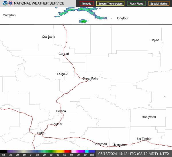
Link to Local Radar Data Link to Satellite Data

Hourly Weather Forecast

National Digital Forecast Database


