



Thunderstorms and Heavy Rain in the Mid-South; Heat Continues in the Southeast and Southwest
Severe thunderstorms and heavy rain are expected across portions of the mid-Mississippi Valley into the Ohio Valley and portions of Arizona. Dangerous heat persists in the South and Southeast while building into the Southwest. Overnight lows will be so warm that, when combined with oppressive dew points, little-to-no relief from the scorching daytime highs will be available. Read More >

USCRN SITE NEAR ST. MARY 1SSW (MRYM8)
Lat: 48.74111°NLon: 113.43306°WElev: 4550.0ft.NA
59°F
15°C
| Humidity | 48% |
| Wind Speed | NA 3 MPH |
| Barometer | NA |
| Dewpoint | 39°F (4°C) |
| Visibility | NA |
| Last update | 18 Aug 11:10 PM MDT |
4 Miles NW St Mary MT
Overnight

Low: 51 °F
Patchy Smoke
Wednesday

High: 69 °F
Patchy Smoke
Wednesday Night
Low: 50 °F
Patchy Smoke
then Partly
CloudyThursday

High: 67 °F
Sunny
Thursday Night

Low: 49 °F
Mostly Clear
Friday
High: 72 °F
Sunny
Friday Night
Low: 55 °F
Mostly Cloudy
then Slight
Chance
ShowersSaturday

High: 71 °F
Chance
ShowersSaturday Night

Low: 51 °F
Chance
Showers
Detailed Forecast
 Forecast Area
ABOUT THIS FORECAST
48.78°N 113.48°W (Elev. 6329 ft)


Additional Resources
Radar & Satellite Image
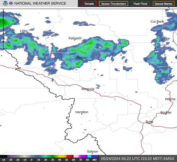

Hourly Weather Forecast


