Current conditions at
Atka, Atka Airport (PAAK)
Lat: 52.22°NLon: 174.21°WElev: 56ft.
Light Snow
36°F
2°C
| Humidity | 79% |
| Wind Speed | W 20 G 28 mph |
| Barometer | 29.61 in (1002.7 mb) |
| Dewpoint | 30°F (-1°C) |
| Visibility | 6.00 mi |
| Wind Chill | 25°F (-4°C) |
| Last update | 5 Nov 8:56 pm HST |
Extended Forecast for
44 Miles WSW Atka AK
Tonight

Low: 34 °F
Rain/Snow
LikelyFriday

High: 40 °F
Scattered
Rain/SnowFriday Night

Low: 35 °F
Isolated
Rain/SnowSaturday

High: 42 °F
Mostly Cloudy
Saturday Night

Low: 34 °F
Mostly Cloudy
Sunday

High: 41 °F
Cloudy
Sunday Night

Low: 35 °F
Chance Snow
Monday

High: 40 °F
Chance
Rain/SnowMonday Night
Low: 34 °F
Chance
Rain/Snow
then Chance
Snow
Detailed Forecast
Tonight
Rain and snow showers likely, mainly before 5am. Mostly cloudy, with a low around 34. West wind 40 to 45 mph decreasing to 35 to 40 mph after midnight. Winds could gust as high as 55 mph. Chance of precipitation is 70%. Little or no snow accumulation expected.
Friday
Scattered rain and snow showers, mainly before 2pm. Partly sunny, with a high near 40. Northwest wind 25 to 35 mph decreasing to 15 to 25 mph in the afternoon. Winds could gust as high as 40 mph. Chance of precipitation is 50%.
Friday Night
A slight chance of rain and snow showers. Mostly cloudy, with a low around 35. Northwest wind 5 to 15 mph becoming northeast after midnight. Winds could gust as high as 25 mph. Chance of precipitation is 20%.
Saturday
Mostly cloudy, with a high near 42. Northeast wind 10 to 15 mph.
Saturday Night
Mostly cloudy, with a low around 34. Northeast wind 10 to 15 mph becoming southeast after midnight.
Sunday
Cloudy, with a high near 41. East wind 15 to 20 mph increasing to 20 to 25 mph in the afternoon.
Sunday Night
A chance of snow between 8pm and 2am. Cloudy, with a low around 35. Chance of precipitation is 30%.
Monday
A chance of rain and snow between 8am and 2pm, then a chance of rain after 2pm. Mostly cloudy, with a high near 40.
Monday Night
A chance of rain before 8pm, then a chance of snow. Mostly cloudy, with a low around 34.
Tuesday
A chance of snow before 2pm. Partly sunny, with a high near 40.
Tuesday Night
A chance of rain and snow. Mostly cloudy, with a low around 34.
Veterans Day
A chance of rain and snow. Cloudy, with a high near 41.
Wednesday Night
A chance of snow. Mostly cloudy, with a low around 34.
Thursday
A chance of snow. Partly sunny, with a high near 40.
Basemap Options
Click map to change the forecast location
Loading map...
 Forecast Area
ABOUT THIS FORECAST
Point Forecast:
44 Miles WSW Atka AK
52.04°N 175.2°W (Elev. 600 ft)
52.04°N 175.2°W (Elev. 600 ft)
6:27 pm HST Nov 5, 2026
9pm HST Nov 5, 2026-6pm HST Nov 12, 2026


Additional Resources
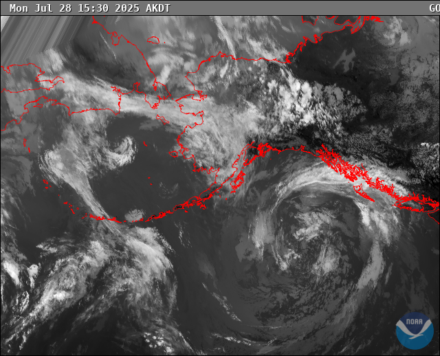
Radar & Satellite Image

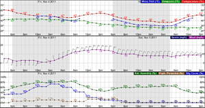
Hourly Weather Forecast