News Headlines

Hazardous Weather Conditions
For More Weather Information:
Today

High: 38 °F
WNW 35kt⇓
19ft

Gale WarningTonight

Low: 37 °F

⇑SSE 35kt
13ft
Gale WarningFriday

High: 45 °F
W 30kt⇓
9-10ft
Small Craft AdvisoryFriday Night
Low: 39 °F
ESE 25kt
6-7ftSaturday

High: 44 °F
⇑W 30kt
11ftSaturday Night

Low: 37 °F
WNW 30kt
18ftSunday
High: 42 °F
WNW 35kt
11ftSunday Night
Low: 34 °F
WNW 35kt
11-12ftMonday
High: 39 °F
W 35kt
11-13ft
High and low forecast temperature values represent air temperature.
Water temperature forecast is experimental.
Associated Zone Forecast which includes this point
Last Update: 2:49 am AKST Nov 19, 2026
Forecast Valid: 5am AKST Nov 19, 2026-6pm AKST Nov 25, 2026
View Nearby Observations
Detailed Forecast
...GALE WARNING THROUGH TONIGHT...
Synopsis: A 967 mb low 60 nm N of Saint Matthew moves to Hooper Bay at 985
mb by Fri morning before continuing inland. A front from a
Kamchatka low pushes into the western Aleutians Thu afternoon. By
Fri morning a 986 mb low develops along the front 140 nm NW of
Adak and moves to 110 nm W of Kipnuk at 985 mb by Sat morning. A
North Pacific low moves over Adak at 971 mb by Sat morning.
Today
WNW wind 30 to 35 kt becoming WSW 20 to 25 kt in the afternoon. A chance of rain and snow showers before 9am, then a chance of snow showers between 9am and noon, then rain and snow likely after noon. Seas 19 ft subsiding to 14 ft.
Tonight
SSW wind 20 to 25 kt becoming SSE 30 to 35 kt. Winds could gust as high as 40 kt. Rain and snow, becoming all rain after 9pm. The rain could be heavy at times. Seas 13 ft subsiding to 10 ft.
Friday
W wind 25 to 30 kt decreasing to 15 to 20 kt in the afternoon. Rain likely, mainly after 3pm. Seas 9 to 10 ft.
Friday Night
SSW wind 15 to 25 kt becoming NE after midnight. Winds could gust as high as 40 kt. Rain. The rain could be heavy at times. Seas 6 to 7 ft.
Saturday
W wind 15 to 20 kt increasing to 25 to 30 kt in the afternoon. Winds could gust as high as 40 kt. Showers, mainly before 3pm. Seas 7 ft building to 11 ft.
Saturday Night
WNW wind 25 to 30 kt, with gusts as high as 35 kt. Showers, mainly after 3am. Seas 18 ft subsiding to 7 ft.
Sunday
WNW wind 25 to 35 kt, with gusts as high as 45 kt. Rain before 3pm, then rain and snow. Seas 7 ft building to 11 ft.
Sunday Night
WNW wind around 35 kt. Rain and snow. Seas 11 to 12 ft.
Monday
W wind 30 to 35 kt. Rain and snow. Seas 11 to 13 ft.
*Notices:
- This forecast is for a single location. For safety concerns, mariners should be aware of the weather over a larger area. Forecast information for a larger area can be found within the zone forecast and the NDFD graphics.
- The forecast conditions at a particular point may not exceed the criteria of a Small Craft Advisory, Gale, Storm etc. These watches/warnings/advisories are issued for the entire zone in which the point resides and mariners should act accordingly.
Basemap Options
Click map to change the forecast location
Loading map...
 Forecast Area
ABOUT THIS FORECAST
| Point Forecast: | 52.19°N 175.74°W |
| Last Update: | 2:49 am AKST Nov 19, 2026 |
| Forecast Valid: | 5am AKST Nov 19, 2026-6pm AKST Nov 25, 2026 |
| Forecast Discussion | |


|
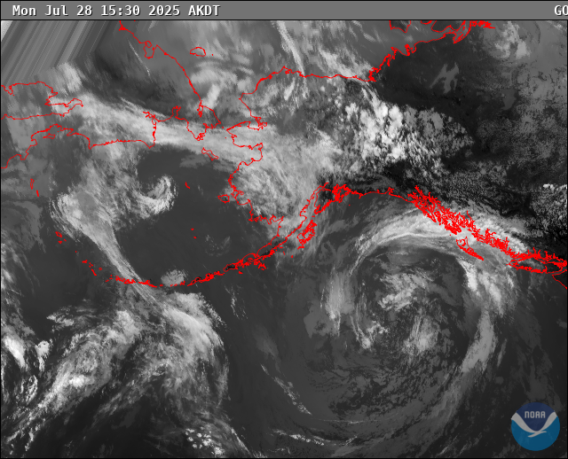
RADAR & SATELLITE IMAGES