Hazardous Weather Conditions
Current conditions at
Portage, Portage Glacier (PATO)
Lat: 60.78°NLon: 148.83°WElev: 95ft.
Partly Cloudy
31°F
-1°C
| Humidity | 96% |
| Wind Speed | W 6 mph |
| Barometer | 29.22 in (989.7 mb) |
| Dewpoint | 30°F (-1°C) |
| Visibility | 10.00 mi |
| Wind Chill | 25°F (-4°C) |
| Last update | 9 Nov 8:53 am AKST |
Extended Forecast for
7 Miles ENE Silvertip AK
Winter Weather Advisory November 9, 11:00am until November 10, 06:00am
Today
High: 29 °F
Chance Snow
then SnowTonight

Low: 29 °F
Heavy Snow
Tuesday
High: 34 °F
Snow then
Rain/SnowTuesday Night

Low: 26 °F
Snow Likely
Veterans Day

High: 31 °F
Snow Likely
Wednesday Night

Low: 25 °F
Snow
Thursday

High: 31 °F
Snow
Thursday Night
Low: 21 °F
Chance Snow
then Mostly
CloudyFriday

High: 24 °F
Partly Sunny
Detailed Forecast
Today
Snow, mainly after noon. High near 29. Calm wind becoming north around 5 mph in the afternoon. Chance of precipitation is 100%. Total daytime snow accumulation of 1 to 3 inches possible.
Tonight
Snow. The snow could be heavy at times. Low around 29. Light east wind increasing to 20 to 25 mph in the evening. Winds could gust as high as 40 mph. Chance of precipitation is 100%. New snow accumulation of 7 to 11 inches possible.
Tuesday
Snow before noon, then rain and snow. High near 34. East wind 5 to 15 mph, with gusts as high as 25 mph. Chance of precipitation is 100%. New snow accumulation of 1 to 3 inches possible.
Tuesday Night
Snow likely, mainly before 9pm. Mostly cloudy, with a low around 26. Southeast wind around 5 mph becoming calm after midnight. Chance of precipitation is 60%.
Veterans Day
Snow likely, mainly after 3pm. Cloudy, with a high near 31. Calm wind. Chance of precipitation is 60%.
Wednesday Night
Snow. Low around 25. East wind around 5 mph becoming calm. Chance of precipitation is 80%.
Thursday
Snow, mainly before 3pm. High near 31. Chance of precipitation is 80%.
Thursday Night
A chance of snow before 9pm. Mostly cloudy, with a low around 21.
Friday
Partly sunny, with a high near 24.
Friday Night
Mostly cloudy, with a low around 12.
Saturday
Partly sunny, with a high near 18.
Saturday Night
Partly cloudy, with a low around 9.
Sunday
A chance of snow. Mostly sunny, with a high near 20.
Basemap Options
Click map to change the forecast location
Loading map...
 Forecast Area
ABOUT THIS FORECAST
Point Forecast:
7 Miles ENE Silvertip AK
60.78°N 149.17°W (Elev. 1798 ft)
60.78°N 149.17°W (Elev. 1798 ft)
5:37 am AKST Nov 9, 2026
9am AKST Nov 9, 2026-6pm AKST Nov 15, 2026


Additional Resources
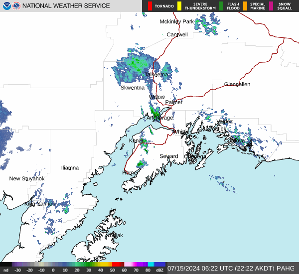
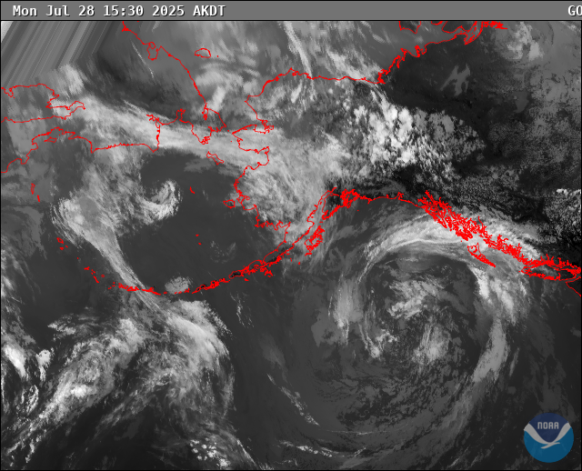
Radar & Satellite Image
Hourly Weather Forecast