

Autumn Temperatures for Eastern Third of the Country; Developing Offshore Coastal Storm

Cooler and less humid conditions for most of the eastern third of the nation as high pressure dominates the weather pattern. Otherwise, rather tranquil weather for most of the nation for the end of the weekend into the start of this week. We continue to monitor a developing coastal storm offshore of the Carolinas; Coastal flooding and beach erosion possible along portions of the Mid-Atlantic. Read More >

Current conditions at

Puntilla (PAPT)

Lat: 62.1°NLon: 152.75°WElev: 1837ft.

A Few Clouds

23°F

-5°C

Humidity 100%
Wind Speed Calm
Barometer 29.81 in
Dewpoint 23°F (-5°C)
Visibility 25.00 mi
Last update 18 Oct 10:45 am AKDT
Extended Forecast for

52 Miles SSE Nikolai AK

  • This Afternoon

    This Afternoon: Mostly sunny, with a high near 18. South wind around 10 mph.

    High: 18 °F

    Mostly Sunny

  • Tonight

    Tonight: Snow, mainly after 10pm.  Areas of blowing snow after 10pm. Low around 12. Southeast wind 15 to 20 mph increasing to 25 to 30 mph after midnight.  Chance of precipitation is 80%. New snow accumulation of less than one inch possible.

    Low: 12 °F

    Snow and
    Areas Blowing
    Snow

  • Monday

    Monday: Snow.  Areas of blowing snow. High near 23. South wind 20 to 30 mph.  Chance of precipitation is 80%. New snow accumulation of 1 to 2 inches possible.

    High: 23 °F

    Snow and
    Areas Blowing
    Snow

  • Monday Night

    Monday Night: Snow, mainly after 4am.  Low around 19. Southwest wind around 15 mph.  Chance of precipitation is 80%. New snow accumulation of less than one inch possible.

    Low: 19 °F

    Snow

  • Tuesday

    Tuesday: Snow. The snow could be heavy at times.  High near 22. Northwest wind 15 to 20 mph.  Chance of precipitation is 100%. New snow accumulation of 3 to 5 inches possible.

    High: 22 °F

    Heavy Snow

  • Tuesday Night

    Tuesday Night: Snow. The snow could be heavy at times.  Areas of blowing snow before 1am. Low around 13. Chance of precipitation is 100%. New snow accumulation of 2 to 4 inches possible.

    Low: 13 °F

    Heavy Snow
    and Areas
    Blowing Snow

  • Wednesday

    Wednesday: Snow, mainly before 10am.  High near 15. Chance of precipitation is 90%.

    High: 15 °F

    Snow then
    Chance Snow

  • Wednesday Night

    Wednesday Night: A slight chance of snow before 10pm.  Mostly cloudy, with a low around 8.

    Low: 8 °F

    Slight Chance
    Snow then
    Mostly Cloudy

  • Thursday

    Thursday: Mostly cloudy, with a high near 14.

    High: 14 °F

    Mostly Cloudy

Detailed Forecast

This Afternoon
Mostly sunny, with a high near 18. South wind around 10 mph.
Tonight
Snow, mainly after 10pm. Areas of blowing snow after 10pm. Low around 12. Southeast wind 15 to 20 mph increasing to 25 to 30 mph after midnight. Chance of precipitation is 80%. New snow accumulation of less than one inch possible.
Monday
Snow. Areas of blowing snow. High near 23. South wind 20 to 30 mph. Chance of precipitation is 80%. New snow accumulation of 1 to 2 inches possible.
Monday Night
Snow, mainly after 4am. Low around 19. Southwest wind around 15 mph. Chance of precipitation is 80%. New snow accumulation of less than one inch possible.
Tuesday
Snow. The snow could be heavy at times. High near 22. Northwest wind 15 to 20 mph. Chance of precipitation is 100%. New snow accumulation of 3 to 5 inches possible.
Tuesday Night
Snow. The snow could be heavy at times. Areas of blowing snow before 1am. Low around 13. Chance of precipitation is 100%. New snow accumulation of 2 to 4 inches possible.
Wednesday
Snow, mainly before 10am. High near 15. Chance of precipitation is 90%.
Wednesday Night
A slight chance of snow before 10pm. Mostly cloudy, with a low around 8.
Thursday
Mostly cloudy, with a high near 14.
Thursday Night
Partly cloudy, with a low around 5.
Friday
A chance of snow. Areas of blowing snow. Partly sunny, with a high near 17.
Friday Night
Snow likely. Areas of blowing snow. Mostly cloudy, with a low around 15.
Saturday
Snow likely. Areas of blowing snow. Mostly cloudy, with a high near 24.
Basemap Options
Click map to change the forecast location
Loading map...

ABOUT THIS FORECAST

 
Point Forecast:
52 Miles SSE Nikolai AK
 62.32°N 153.73°W (Elev. 4590 ft)
11:17 am AKDT Oct 18, 2026
12pm AKDT Oct 18, 2026-6pm AKDT Oct 24, 2026
 
Get as KML Get as XML

Additional Resources

Radar & Satellite Image
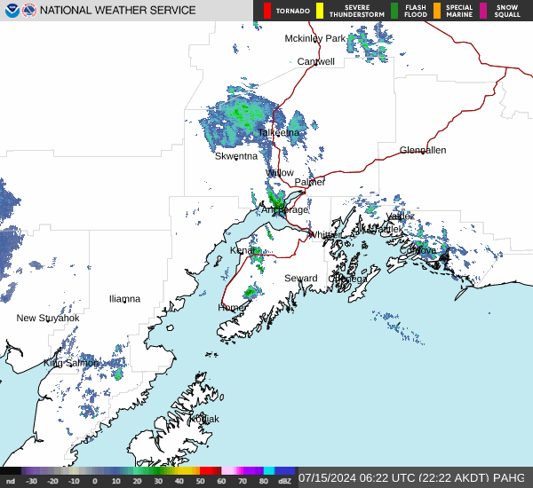
Link to Local Radar Data Link to Satellite Data

Hourly Weather Forecast

National Digital Forecast Database



