



Heavy Rainfall Threat for Portions of Mid-Atlantic and Northeast; Heat Linger for Southeast and Expands for the West
Moisture and nearby frontal boundary will focus more showers and thunderstorms for portions of the Mid-Atlantic and Northeast today. Rainfall could be locally heavy resulting instances of flash flooding. Meanwhile, the heat lingers for areas of the Southeast and expands across the Western U.S. the next several days. Between these areas, severe thunderstorms possible for the Plains and Midwest. Read More >

Sleetmute (PASL)
Lat: 61.7°NLon: 157.17°WElev: 207ft.
Fair
68°F
20°C
| Humidity | 65% |
| Wind Speed | N 9 mph |
| Barometer | 29.89 in (1011.2 mb) |
| Dewpoint | 56°F (13°C) |
| Visibility | 10.00 mi |
| Last update | 6 Jul 5:56 pm AKDT |
16 Miles SSW Moore Creek AK
Tonight
Low: 50 °F
T-storms
Likely then
Scattered
ShowersTuesday

High: 65 °F
Showers
LikelyTuesday Night

Low: 49 °F
Showers
Wednesday

High: 59 °F
Showers
Wednesday Night

Low: 46 °F
Scattered
ShowersThursday
High: 58 °F
Isolated
Showers then
Mostly CloudyThursday Night

Low: 45 °F
Mostly Cloudy
Friday

High: 60 °F
Mostly Cloudy
Friday Night

Low: 47 °F
Isolated
Showers
Detailed Forecast
 Forecast Area
ABOUT THIS FORECAST
62.4°N 157.38°W (Elev. 1545 ft)


Additional Resources
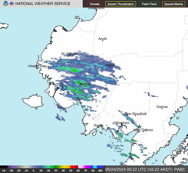
Radar & Satellite Image

Hourly Weather Forecast


