Coastal Storm Along the East Coast; Pacific Storm System in the West on Friday

A strengthening coastal storm will bring soaking rains to portions of the Mid-Atlantic and Northeast, with accumulating snow likely across the higher elevations of northern New England through Friday. A Pacific storm system will bring heavy low elevation rain, and gusty winds to northern California and the Pacific Northwest, as well as possible blizzard conditions to the Sierra Nevada on Friday. Read More >

Current conditions at

Puntilla (PAPT)

Lat: 62.1°NLon: 152.75°WElev: 1837ft.

N/A

Humidity NA
Wind Speed NA
Barometer NA
Dewpoint N/A
Visibility NA
Last update *** Not a current observation ***
Extended Forecast for

65 Miles S Telida AK

  • Overnight

    Overnight: A chance of snow.  Cloudy, with a steady temperature around 20. Calm wind.  Chance of precipitation is 40%.

    Low: 20 °F

    Chance Snow

  • Thursday

    Thursday: A chance of snow before 3pm, then scattered snow showers after 3pm.  Mostly cloudy, with a high near 25. East wind around 5 mph.  Chance of precipitation is 40%.

    High: 25 °F

    Chance Snow

  • Thursday Night

    Thursday Night: A slight chance of snow before 9pm.  Mostly cloudy, with a low around 16. South wind around 5 mph becoming calm  after midnight.  Chance of precipitation is 20%.

    Low: 16 °F

    Slight Chance
    Snow then
    Mostly Cloudy

  • Friday

    Friday: Mostly cloudy, with a high near 20. Calm wind becoming north around 5 mph.

    High: 20 °F

    Mostly Cloudy

  • Friday Night

    Friday Night: Mostly cloudy, with a low around 5. North wind around 5 mph becoming northwest after midnight.

    Low: 5 °F

    Mostly Cloudy

  • Saturday

    Saturday: Mostly cloudy, with a high near 15. West wind 5 to 10 mph becoming north in the morning.

    High: 15 °F

    Mostly Cloudy

  • Saturday Night

    Saturday Night: Snow likely, mainly after 3am.  Cloudy, with a low around 8. Chance of precipitation is 60%.

    Low: 8 °F

    Chance Snow
    then Snow
    Likely

  • Sunday

    Sunday: Snow likely, mainly before 3pm.  Cloudy, with a high near 21.

    High: 21 °F

    Snow Likely

  • Sunday Night

    Sunday Night: A chance of snow.  Cloudy, with a low around 15.

    Low: 15 °F

    Chance Snow

Detailed Forecast

Overnight
A chance of snow. Cloudy, with a steady temperature around 20. Calm wind. Chance of precipitation is 40%.
Thursday
A chance of snow before 3pm, then scattered snow showers after 3pm. Mostly cloudy, with a high near 25. East wind around 5 mph. Chance of precipitation is 40%.
Thursday Night
A slight chance of snow before 9pm. Mostly cloudy, with a low around 16. South wind around 5 mph becoming calm after midnight. Chance of precipitation is 20%.
Friday
Mostly cloudy, with a high near 20. Calm wind becoming north around 5 mph.
Friday Night
Mostly cloudy, with a low around 5. North wind around 5 mph becoming northwest after midnight.
Saturday
Mostly cloudy, with a high near 15. West wind 5 to 10 mph becoming north in the morning.
Saturday Night
Snow likely, mainly after 3am. Cloudy, with a low around 8. Chance of precipitation is 60%.
Sunday
Snow likely, mainly before 3pm. Cloudy, with a high near 21.
Sunday Night
A chance of snow. Cloudy, with a low around 15.
Monday
A chance of snow. Mostly cloudy, with a high near 25.
Monday Night
A chance of snow. Mostly cloudy, with a low around 14.
Tuesday
A chance of snow. Mostly cloudy, with a high near 22.
Tuesday Night
A chance of snow. Mostly cloudy, with a low around 15.
Wednesday
A chance of snow. Partly sunny, with a high near 25.
Basemap Options
Click map to change the forecast location
Loading map...

ABOUT THIS FORECAST

 
Point Forecast:
65 Miles S Telida AK
 62.45°N 152.93°W (Elev. 3117 ft)
3:46 am AKST Nov 12, 2026
5am AKST Nov 12, 2026-6pm AKST Nov 18, 2026
 
Get as KML Get as XML

Additional Resources

Radar & Satellite Image
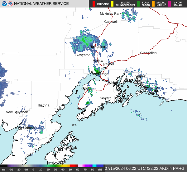
Link to Local Radar Data Link to Satellite Data

Hourly Weather Forecast

National Digital Forecast Database