

Excessive Rainfall Potential for the Southeast; Heat Expands for Center of the Nation; Critical Fire Weather for Pacific Northwest

Flash flooding threatens areas from the Tennessee Valley to the Carolinas as storms repeat along a stalled front. Monsoonal storms may trigger flooding in the Southwest. Dangerous heat expands across the Desert Southwest, Plains, mid-Mississippi Valley and Southern Tier. Critical fire weather for interior Pacific Northwest. Cooler, drier air brings brief relief to the Great Lakes and Northeast. Read More >

Current conditions at

Coldfoot Airport (PACX)

Lat: 67.25°NLon: 150.2°WElev: 1049ft.

Fair

41°F

5°C

Humidity 89%
Wind Speed Calm
Barometer 30.07 in (980.7 mb)
Dewpoint 38°F (3°C)
Visibility 10.00 mi
Last update 25 Jul 2:56 am AKDT
Extended Forecast for

6 Miles NNW Chandalar AK

  • Overnight

    Overnight: Partly cloudy, with a low around 40. Northwest wind around 5 mph.

    Low: 40 °F

    Partly Cloudy

  • Saturday

    Saturday: Mostly sunny, with a high near 63. Calm wind becoming southwest around 5 mph in the morning.

    High: 63 °F

    Mostly Sunny

  • Saturday Night

    Saturday Night: Scattered showers after 4am.  Mostly clear, with a low around 44. West wind around 10 mph.  Chance of precipitation is 30%.

    Low: 44 °F

    Mostly Clear
    then
    Scattered
    Showers

  • Sunday

    Sunday: Showers, mainly after 10am.  High near 51. West wind around 10 mph becoming north in the afternoon.  Chance of precipitation is 80%.

    High: 51 °F

    Showers

  • Sunday Night

    Sunday Night: Rain and snow showers likely before 10pm, then scattered snow showers.  Mostly cloudy, with a low around 30. North wind 15 to 20 mph.  Chance of precipitation is 70%. New snow accumulation of less than a half inch possible.

    Low: 30 °F

    Rain/Snow
    Likely then
    Scattered
    Snow Showers

  • Monday

    Monday: Scattered snow showers before 10am.  Partly sunny, with a high near 53. Chance of precipitation is 30%.

    High: 53 °F

    Scattered
    Snow Showers
    then Mostly
    Sunny

  • Monday Night

    Monday Night: Mostly cloudy, with a low around 37.

    Low: 37 °F

    Mostly Cloudy

  • Tuesday

    Tuesday: Partly sunny, with a high near 60.

    High: 60 °F

    Partly Sunny

  • Tuesday Night

    Tuesday Night: Isolated showers after 4am.  Mostly cloudy, with a low around 40.

    Low: 40 °F

    Mostly Cloudy
    then Isolated
    Showers

Detailed Forecast

Overnight
Partly cloudy, with a low around 40. Northwest wind around 5 mph.
Saturday
Mostly sunny, with a high near 63. Calm wind becoming southwest around 5 mph in the morning.
Saturday Night
Scattered showers after 4am. Mostly clear, with a low around 44. West wind around 10 mph. Chance of precipitation is 30%.
Sunday
Showers, mainly after 10am. High near 51. West wind around 10 mph becoming north in the afternoon. Chance of precipitation is 80%.
Sunday Night
Rain and snow showers likely before 10pm, then scattered snow showers. Mostly cloudy, with a low around 30. North wind 15 to 20 mph. Chance of precipitation is 70%. New snow accumulation of less than a half inch possible.
Monday
Scattered snow showers before 10am. Partly sunny, with a high near 53. Chance of precipitation is 30%.
Monday Night
Mostly cloudy, with a low around 37.
Tuesday
Partly sunny, with a high near 60.
Tuesday Night
Isolated showers after 4am. Mostly cloudy, with a low around 40.
Wednesday
Isolated showers before 10am. Mostly cloudy, with a high near 61.
Wednesday Night
Isolated showers. Mostly cloudy, with a low around 40.
Thursday
Isolated showers. Mostly cloudy, with a high near 64.
Thursday Night
Mostly cloudy, with a low around 43.
Friday
Mostly cloudy, with a high near 67.
Basemap Options
Click map to change the forecast location
Loading map...

ABOUT THIS FORECAST

 
Point Forecast:
6 Miles NNW Chandalar AK
 67.56°N 148.62°W (Elev. 2867 ft)
3:18 am AKDT Jul 25, 2026
3am AKDT Jul 25, 2026-6pm AKDT Jul 31, 2026
 
Get as KML Get as XML

Additional Resources

Radar & Satellite Image
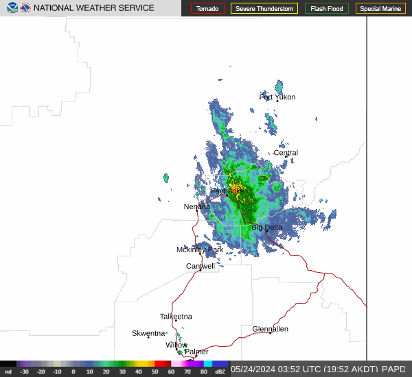
Link to Local Radar Data Link to Satellite Data

Hourly Weather Forecast

National Digital Forecast Database



