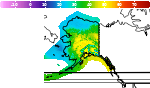
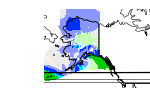
Precipitation in the Pacific Northwest into the Northern Rockies; Bering Sea Storm in Alaska
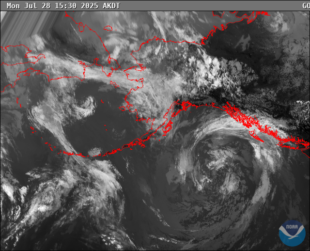
A Pacific storm will bring rain and high elevation snow from the Pacific Northwest into the Northern Rockies. A series of storms are expected to move through the Bering Sea bringing strong winds, heavy precipitation, and elevated water levels from the West Coast to northern Alaska. Read More >

Hazardous Weather Conditions
Anaktuvuk Pass, Anaktuvuk Pass Airport (PAKP)
Lat: 68.13°NLon: 151.74°WElev: 2103ft.
Overcast
28°F
-2°C
| Humidity | 92% |
| Wind Speed | SW 9 mph |
| Barometer | 29.96 in (1018.9 mb) |
| Dewpoint | 26°F (-3°C) |
| Visibility | 10.00 mi |
| Wind Chill | 19°F (-7°C) |
| Last update | 26 Oct 6:56 pm AKDT |
26 Miles SE Anaktuvuk Pass AK
NOW until 10:00pm Mon

Winter Storm Warning
Tonight

Low: 21 °F
Chance Snow
Tuesday

High: 26 °F
Snow Likely
Tuesday Night

Low: 23 °F
Snow Likely
Wednesday

High: 26 °F
Chance Snow
Wednesday Night

Low: 20 °F
Snow
Thursday
High: 23 °F
Snow Likely
then Chance
SnowThursday Night

Low: 19 °F
Chance Snow
Friday

High: 24 °F
Snow Likely
Detailed Forecast
 Forecast Area
ABOUT THIS FORECAST
67.9°N 150.95°W (Elev. 3543 ft)


Additional Resources
Radar & Satellite Image
Hourly Weather Forecast