Heavy Precipitation in California; Heavy Rainfall Continues in East Florida
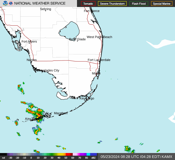
A Pacific storm system will bring widespread rain and mountain snow to the West. Heavy rainfall will impact portions of central and southern California. Moderate to heavy snowfall is expected across the Sierra Nevada and portions of the higher terrain of the interior West. Heavy rainfall and thunderstorms will continue a flash flooding threat across eastern Florida through Saturday. Read More >

Last Update: 416 PM EST Thu Nov 19 2026
For More Weather Information:
Key Largo FL
Marine Zone Forecast
Tonight
Northwest to north winds 5 to 10 knots. Seas 1 to 2 feet. Nearshore waters smooth to a light chop.
Friday
West to northwest winds near 10 knots, increasing to 10 to 15 knots. Seas 1 to 2 feet. Nearshore waters a light chop, becoming a light to moderate chop. A slight chance of showers.
Friday Night
West to northwest winds 10 to 15 knots, decreasing to near 10 knots. Seas 1 to 2 feet. Nearshore waters a light to moderate chop, becoming a light chop. A slight chance of showers.
Saturday
West winds 10 to 15 knots. Seas 1 to 2 feet. Nearshore waters a light to moderate chop. A slight chance of showers.
Saturday Night
West to northwest winds near 10 knots, decreasing to 5 to 10 knots. Seas 1 to 2 feet. Nearshore waters a light chop, becoming smooth to a light chop. A slight chance of showers.
Sunday
West to northwest winds near 5 knots. Seas around 1 foot. Nearshore waters smooth.
Sunday Night
Northwest to north winds near 5 knots. Seas around 1 foot. Nearshore waters smooth.
Monday
North to northeast winds near 5 knots. Seas around 1 foot. Nearshore waters smooth.
Monday Night
Northeast winds near 5 knots. Seas around 1 foot. Nearshore waters smooth. A slight chance of showers.
Tuesday
Northeast to east winds 5 to 10 knots. Seas around 1 foot. Nearshore waters smooth to a light chop. A chance of showers with a slight chance of thunderstorms.
Tuesday Night
Northeast to east winds 5 to 10 knots. Seas 1 foot or less. Nearshore waters smooth to a light chop. A chance of showers with a slight chance of thunderstorms.
Additional Forecasts and Information
Basemap Options
Click map to change the forecast location
Loading map...
 Forecast Area
RADAR & SATELLITE IMAGES