News Headlines
- 🌀 Hurricane Season One-Stop-Shop
- 🌀 NWS Mobile/Pensacola 2026 Hurricane Preparedness Guide
- 🌀 Hurricane Preparedness Infographics in English, Español, Tiếng Việt
- 31st Anniversary of Hurricane Erin - August 1995
- 🌴 Beach Bound? Learn More About RIP CURRENTS - The #1 Weather Related Killer Along Gulf Coast Beaches.

Current conditions at
Mobile, Mobile Regional Airport (KMOB)
Lat: 30.69° N Lon: 88.25° W Elev: 217 ft.
Fair
82°F
28°C
| Humidity | 88% |
| Wind Speed | SW 7 mph |
| Barometer | 29.79 in (1008.4 mb) |
| Dewpoint | 78°F (26°C) |
| Visibility | 10.00 mi |
| Heat Index | 91°F (33°C) |
| Last update | 2 Aug 2:56 am CDT |
Detailed forecast for
Mobile Central
Today
Partly sunny with a chance of showers and thunderstorms. Highs in the lower 90s. West winds 5 to 10 mph. Chance of rain 50 percent.
Tonight
Partly cloudy with a slight chance of showers and thunderstorms in the evening, then mostly clear after midnight. Lows in the lower 70s. West winds 5 to 10 mph, becoming northwest after midnight. Chance of rain 20 percent.
Monday
Mostly sunny. Highs in the lower 90s. West winds 5 to 10 mph.
Monday Night
Mostly clear. Lows in the mid 70s. Southwest winds around 5 mph in the evening, becoming light and variable.
Tuesday
Sunny. Highs in the mid 90s. Northwest winds around 5 mph, becoming southwest around 5 mph in the afternoon.
Tuesday Night
Mostly clear. Lows in the mid 70s.
Wednesday
Sunny. A slight chance of showers and thunderstorms in the afternoon. Highs in the mid 90s. Chance of rain 20 percent.
Wednesday Night
Mostly clear. A slight chance of showers and thunderstorms after midnight. Lows in the mid 70s. Chance of rain 20 percent.
Thursday
Sunny with a slight chance of showers and thunderstorms. Highs in the lower 90s. Chance of rain 20 percent. Heat index values up to 105.
Thursday Night
Partly cloudy in the evening, then mostly clear with a slight chance of showers and thunderstorms after midnight. Lows in the mid 70s. Chance of rain 20 percent.
Friday
Mostly sunny. A slight chance of showers and thunderstorms in the morning, then a chance of showers and thunderstorms in the afternoon. Highs in the lower 90s. Chance of rain 30 percent. Heat index values up to 105.
Friday Night
Partly cloudy with a slight chance of showers and thunderstorms in the evening, then mostly clear after midnight. Lows in the mid 70s. Chance of rain 20 percent.
Saturday
Mostly sunny. A chance of showers and thunderstorms in the afternoon. Highs in the lower 90s. Chance of rain 30 percent. Heat index values up to 105.
Additional Forecasts and Information
Basemap Options
Click map to change the forecast location
Loading map...
 Forecast Area
Additional Resources
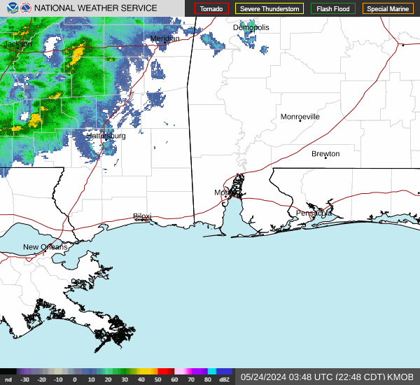
Radar & Satellite Image

Hourly Weather Forecast