Record Heat for the Intermountain West and Northern Plains; Heavy Rainfall and Severe Weather Threats
Record setting heat is expected over the next several days from the Intermountain West through the northern Plains. Furthermore, fire weather concerns increase with dry and breezy conditions. Meanwhile, heavy rainfall and severe thunderstorm threats for the Ohio/Tennessee Valleys, central Appalachians and Southeast today. The threat shifts to central Gulf Coast and across central Texas this week. Read More >

Current conditions at
Ankeny Regional Airport (KIKV)
Lat: 41.69° N Lon: 93.57° W Elev: 886 ft.
Fair
63°F
17°C
| Humidity | 100% |
| Wind Speed | Calm |
| Barometer | 30.19 in |
| Dewpoint | 63°F (17°C) |
| Visibility | 9.00 mi |
| Last update | 12 Jul 5:55 am CDT |
Detailed forecast for
Polk County
Rest Of Tonight
Clear. Lows in the mid 60s. Light and variable winds.
Sunday
Sunny with highs in the upper 80s. East winds around 5 mph.
Sunday Night
Mostly clear. Humid with lows in the mid 60s. East winds around 5 mph, becoming south after midnight.
Monday
Sunny with highs in the lower 90s. West winds around 5 mph, becoming south in the afternoon.
Monday Night
Clear with lows in the upper 60s. Southeast winds around 5 mph in the evening, becoming light and variable.
Tuesday
Sunny. Highs in the lower 90s.
Tuesday Night
Clear. Lows around 70.
Wednesday
Sunny. Highs in the mid 90s.
Wednesday Night
Mostly clear. Lows in the lower 70s.
Thursday
Sunny, hot with highs in the mid 90s.
Thursday Night
Mostly clear. Lows in the mid 70s. Heat index values up to 100 early in the evening.
Friday
Sunny, hot with highs in the mid 90s.
Friday Night
Mostly clear. Lows in the mid 70s.
Saturday
Sunny. Highs in the mid 90s.
Additional Forecasts and Information
Basemap Options
Click map to change the forecast location
Loading map...
 Forecast Area
Additional Resources
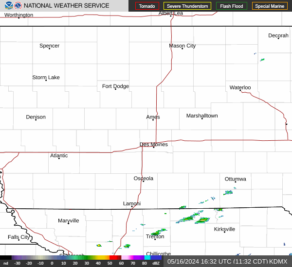
Radar & Satellite Image

Hourly Weather Forecast