Hazardous Weather Conditions
Last Update: 402 AM EDT Tue Oct 13 2026
For More Weather Information:
20NM NNE Irondequoit NY
Marine Zone Forecast
Today
South winds 5 to 15 knots. Showers through early afternoon, then showers likely with a chance of thunderstorms late. Waves 2 feet or less.
Tonight
Southwest winds 10 to 15 knots becoming west. Showers likely with a chance of thunderstorms early, then a chance of showers and thunderstorms late in the evening. Waves 1 to 3 feet building to 2 to 4 feet.
Wednesday
Northwest winds 10 to 15 knots becoming west. Waves 2 to 4 feet subsiding to 1 to 3 feet.
Wednesday Night
Northwest winds 10 to 15 knots becoming north 15 to 20 knots. Waves 1 to 3 feet building to 2 to 4 feet.
Thursday
Northeast winds 5 to 15 knots becoming southeast. Showers thursday night. Waves 2 to 4 feet subsiding to 2 feet or less.
Friday
Southwest winds 15 to 25 knots becoming northwest and increasing to 35 knot gales. Showers. Waves 3 to 5 feet building to 9 to 13 feet. Waves occasionally around 16 feet.
Saturday
Northwest gales to 35 knots becoming west and diminishing to 15 to 20 knots. A chance of rain showers during the day. Waves 10 to 13 feet subsiding to 4 to 7 feet. Waves occasionally around 16 feet.
winds and waves higher in and near thunderstorms.
winds and waves higher in and near thunderstorms.
Additional Forecasts and Information
Basemap Options
Click map to change the forecast location
Loading map...
 Forecast Area
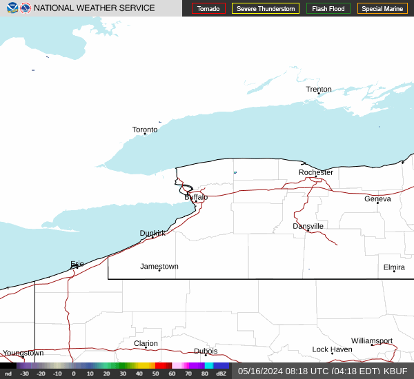
RADAR & SATELLITE IMAGES