Two Pacific Storms to Impact the Western U.S. This Week
Two Pacific storms will impact the western U.S. this week with low elevation rain, mountain snow, and gusty winds. The second storm arriving Tuesday night into Wednesday may bring heavy to excessive rainfall and possible flooding for coastal central and southern California, while heavy mountain snow is possible across the Sierra Nevada mountains. Read More >

Current conditions at
Kennett - Kennett Memorial Airport (KTKX)
Lat: 36.22° N Lon: 90.04° W Elev: 240 ft.
Fair
34°F
1°C
| Humidity | 100% |
| Wind Speed | N 6 mph |
| Barometer | 30.48 in |
| Dewpoint | 34°F (1°C) |
| Visibility | 10.00 mi |
| Wind Chill | 29°F (-2°C) |
| Last update | 16 Nov 5:35 am CST |
Detailed forecast for
Dunklin County
Today
Widespread frost this morning. Sunny. Highs in the upper 50s. Northeast winds 5 to 10 mph.
Tonight
Mostly clear. Areas of frost after midnight. Lows in the mid 30s. Northeast winds around 5 mph.
Tuesday
Areas of frost in the morning. Sunny. Highs in the lower 60s. East winds around 5 mph.
Tuesday Night
Clear. Lows in the mid 30s. Southeast winds around 5 mph.
Wednesday
Sunny. Highs in the mid 60s. Southeast winds around 5 mph.
Wednesday Night
Mostly clear in the evening, then becoming partly cloudy. Lows in the lower 40s.
Thursday
Sunny. Highs around 70.
Thursday Night
Mostly clear. Lows in the mid 40s.
Friday
Sunny. Highs in the lower 70s.
Friday Night
Mostly clear. Lows in the mid 40s.
Saturday
Sunny. Highs in the lower 70s.
Saturday Night
Partly cloudy in the evening, then mostly cloudy with a slight chance of showers after midnight. Lows in the upper 40s. Chance of rain 20 percent.
Sunday
Mostly sunny. Cooler with highs in the lower 60s.
Additional Forecasts and Information
Basemap Options
Click map to change the forecast location
Loading map...
 Forecast Area
Additional Resources
Radar & Satellite Image
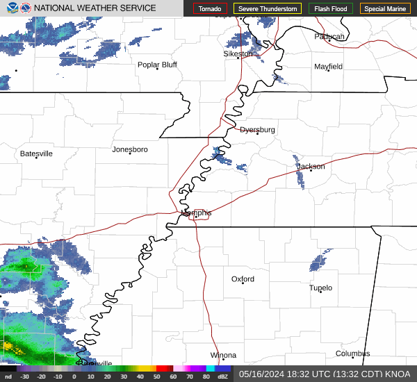

Hourly Weather Forecast