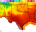
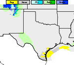
Showers and Thunderstorms from the Southern Plains into the Ohio Valley; Record Warmth in the Central U.S.
Heavy rain and widely scattered severe storms are expected over portions of the central and southern Plains into the Ohio Valley. Unseasonable warmth will continue for a few more days across the Midwest, Southeast, and Mid-Atlantic where several daily record highs could fall. Read More >

Hazardous Weather Conditions
- Flash Flood Warning until October 14, 12:30 PM CDT
- Flash Flood Warning in effect from October 14, 08:34 AM CDT until October 14, 11:30 AM CDT
- Flood Advisory in effect from October 14, 07:58 AM CDT until October 16, 01:00 AM CDT
- Flood Watch in effect from October 14, 07:00 AM CDT until October 15, 01:00 PM CDT
Watonga, Watonga Airport (KJWG)
Lat: 35.86°NLon: 98.42°WElev: 1549ft.N/A
| Humidity | NA |
| Wind Speed | NA |
| Barometer | NA |
| Dewpoint | N/A |
| Visibility | NA |
| Last update | *** Not a current observation *** |
Greenfield OK
NOW: Multiple hazards in effect

Click HERE for Details
Today

High: 81 °F
Heavy Rain
Tonight

Low: 66 °F
Showers
Thursday

High: 78 °F
Showers
Thursday Night

Low: 48 °F
Chance
ShowersFriday
High: 58 °F
Mostly Cloudy
and Windy
then Partly
SunnyFriday Night

Low: 40 °F
Partly Cloudy
Saturday

High: 61 °F
Mostly Sunny
Saturday Night

Low: 42 °F
Mostly Clear
Detailed Forecast
Additional Forecasts and Information
 Forecast Area
ABOUT THIS FORECAST
35.73°N 98.38°W


Additional Resources
Radar & Satellite Image
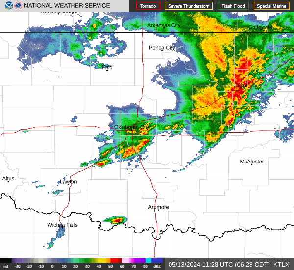

Hourly Weather Forecast