Bering Sea Storms in Alaska; Multi-Day Heavy Rain Event in the Southern Plains and Southwest

A series of Bering Sea storms will impact western Alaska this week, with elevated water levels, isolated coastal flooding, high surf, erosion, and strong winds. Heavy rain and snow are also expected along the West Coast into Interior Alaska. Showers and thunderstorms will produce a multi-day flash flooding threat across parts of the southern High Plains and Southwest through the weekend. Read More >

Current conditions at

Mount Pleasant, Mount Pleasant Municipal Airport (KMOP)

Lat: 43.62°NLon: 84.73°WElev: 755ft.

Fair

59°F

15°C

Humidity 63%
Wind Speed S 6 mph
Barometer 30.07 in
Dewpoint 46°F (8°C)
Visibility 10.00 mi
Last update 29 Oct 12:55 am EDT
Extended Forecast for

Blanchard MI

  • Overnight

    Overnight: A 10 percent chance of showers after 5am.  Partly cloudy, with a low around 54. South southwest wind around 10 mph, with gusts as high as 21 mph.

    Low: 54 °F

    Slight Chance
    Showers

  • Thursday

    Thursday: A 40 percent chance of showers between 1pm and 2pm.  Mostly cloudy through mid morning, then gradual clearing, with a high near 68. Southwest wind around 14 mph, with gusts as high as 25 mph.

    High: 68 °F

    Chance
    Showers

  • Thursday Night

    Thursday Night: Clear, with a low around 36. West northwest wind 3 to 7 mph.

    Low: 36 °F

    Clear

  • Friday

    Friday: Mostly sunny, with a high near 60. Calm wind becoming northwest around 5 mph in the afternoon.

    High: 60 °F

    Mostly Sunny

  • Friday Night

    Friday Night: Mostly cloudy, with a low around 37. Calm wind.

    Low: 37 °F

    Mostly Cloudy

  • Saturday

    Saturday: Mostly cloudy, with a high near 60.

    High: 60 °F

    Mostly Cloudy

  • Saturday Night

    Saturday Night: Mostly cloudy, with a low around 43.

    Low: 43 °F

    Mostly Cloudy

  • Sunday

    Sunday: Mostly cloudy, with a high near 64.

    High: 64 °F

    Mostly Cloudy

  • Sunday Night

    Sunday Night: Mostly cloudy, with a low around 46.

    Low: 46 °F

    Mostly Cloudy

Detailed Forecast

Overnight
A 10 percent chance of showers after 5am. Partly cloudy, with a low around 54. South southwest wind around 10 mph, with gusts as high as 21 mph.
Thursday
A 40 percent chance of showers between 1pm and 2pm. Mostly cloudy through mid morning, then gradual clearing, with a high near 68. Southwest wind around 14 mph, with gusts as high as 25 mph.
Thursday Night
Clear, with a low around 36. West northwest wind 3 to 7 mph.
Friday
Mostly sunny, with a high near 60. Calm wind becoming northwest around 5 mph in the afternoon.
Friday Night
Mostly cloudy, with a low around 37. Calm wind.
Saturday
Mostly cloudy, with a high near 60.
Saturday Night
Mostly cloudy, with a low around 43.
Sunday
Mostly cloudy, with a high near 64.
Sunday Night
Mostly cloudy, with a low around 46.
Monday
Partly sunny, with a high near 66.
Monday Night
A chance of showers. Mostly cloudy, with a low around 50.
Tuesday
A chance of showers. Mostly cloudy, with a high near 66.
Tuesday Night
A chance of showers. Mostly cloudy, with a low around 48.
Wednesday
A chance of showers. Mostly cloudy, with a high near 63.
Basemap Options
Click map to change the forecast location
Loading map...

ABOUT THIS FORECAST

 
Point Forecast:
Blanchard MI
 43.52°N 85.08°W (Elev. 915 ft)
1:03 am EDT Oct 29, 2026
1am EDT Oct 29, 2026-6pm EST Nov 4, 2026
 
Get as KML Get as XML

Additional Resources

Radar & Satellite Image
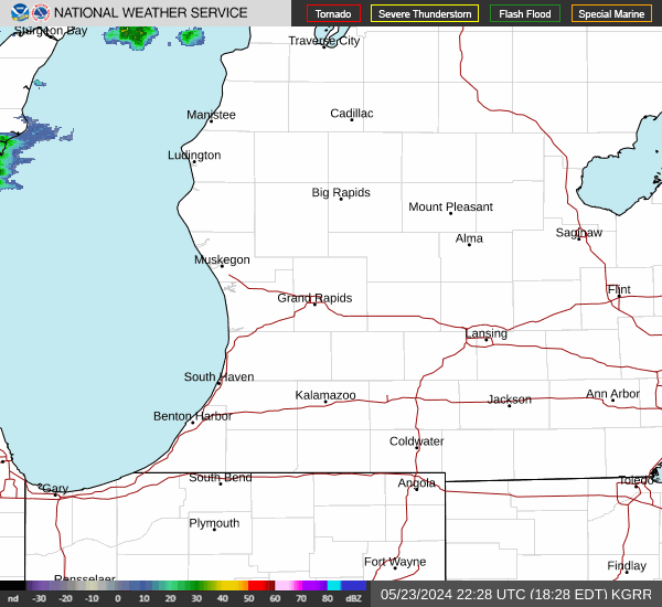
Link to Local Radar Data Link to Satellite Data

Hourly Weather Forecast

National Digital Forecast Database