News Headlines
- Rapid-Onset (Flash) Drought Continues to Worsen Across the RGV/Deep S. Texas Ranchlands. Click Here for Details.
- RGV Summer (June-August) Weather and Climate Summary - Early Rain Gives Way to Brutal El Nino-Driven Heat, Drought
- New: September-November 2026 Outlook - Warmer Than Normal Conditions Favored; Precipitation A Toss-Up, But Could Trend Wetter Later This Fall; Heat Risk, Drought, Fire Weather, And Water Supply Issues Remain In Focus
- The 2026 Atlantic Hurricane Season is Fading...but is not Over Yet. Are You Ready? Know Your Risk, Check Your Plans, Restock Your Kits, and More

Current conditions at
Harlingen, Rio Grande Valley International Airport (KHRL)
Lat: 26.23°NLon: 97.66°WElev: 33ft.
Fair
93°F
34°C
| Humidity | 56% |
| Wind Speed | E 14 mph |
| Barometer | 29.96 in (1014.4 mb) |
| Dewpoint | 75°F (24°C) |
| Visibility | 10.00 mi |
| Heat Index | 105°F (41°C) |
| Last update | 18 Sep 4:52 pm CDT |
Extended Forecast for
Harlingen TX
Tonight

Low: 77 °F
Mostly Clear
Saturday

High: 98 °F
Sunny
Saturday Night
Low: 76 °F
Mostly Clear
Sunday
High: 99 °F
Mostly Sunny
then Slight
Chance
T-stormsSunday Night

Low: 78 °F
Partly Cloudy
Monday
High: 99 °F
Sunny then
Slight Chance
T-stormsMonday Night
Low: 78 °F
Mostly Clear
Tuesday
High: 98 °F
Sunny then
Chance
T-stormsTuesday Night
Low: 78 °F
Mostly Clear
Detailed Forecast
Tonight
Mostly clear, with a low around 77. East wind 6 to 11 mph becoming light and variable in the evening. Winds could gust as high as 20 mph.
Saturday
Sunny, with a high near 98. Heat index values as high as 106. Light and variable wind becoming east 5 to 10 mph in the afternoon.
Saturday Night
Mostly clear, with a low around 76. East wind 5 to 10 mph becoming light southeast in the evening. Winds could gust as high as 20 mph.
Sunday
A 20 percent chance of showers and thunderstorms after 1pm. Sunny, with a high near 99. Heat index values as high as 108. Light east southeast wind becoming east 5 to 10 mph in the afternoon.
Sunday Night
Partly cloudy, with a low around 78. East wind 6 to 11 mph becoming light southeast after midnight. Winds could gust as high as 21 mph.
Monday
A 20 percent chance of showers and thunderstorms after 1pm. Sunny, with a high near 99. Light southeast wind becoming east 6 to 11 mph in the afternoon. Winds could gust as high as 20 mph.
Monday Night
Mostly clear, with a low around 78. East wind 6 to 11 mph becoming light southeast after midnight. Winds could gust as high as 21 mph.
Tuesday
A 40 percent chance of showers and thunderstorms after 1pm. Sunny, with a high near 98. Light east northeast wind becoming east 8 to 13 mph in the afternoon. Winds could gust as high as 21 mph.
Tuesday Night
Mostly clear, with a low around 78. East wind 6 to 11 mph becoming light east southeast in the evening. Winds could gust as high as 21 mph.
Wednesday
A chance of showers, with thunderstorms also possible after 1pm. Sunny, with a high near 97. Light northeast wind becoming east 8 to 13 mph in the morning. Winds could gust as high as 22 mph. Chance of precipitation is 40%.
Wednesday Night
Mostly clear, with a low around 78. East wind 6 to 11 mph becoming light in the evening. Winds could gust as high as 21 mph.
Thursday
A 40 percent chance of showers and thunderstorms. Sunny, with a high near 97.
Thursday Night
A 20 percent chance of showers. Mostly clear, with a low around 78.
Friday
A 40 percent chance of showers and thunderstorms. Sunny, with a high near 96.
Additional Forecasts and Information
Basemap Options
Click map to change the forecast location
Loading map...
 Forecast Area
ABOUT THIS FORECAST
Point Forecast:
Harlingen TX
26.19°N 97.7°W
26.19°N 97.7°W
5:30 pm CDT Sep 18, 2026
5pm CDT Sep 18, 2026-6pm CDT Sep 25, 2026


Additional Resources
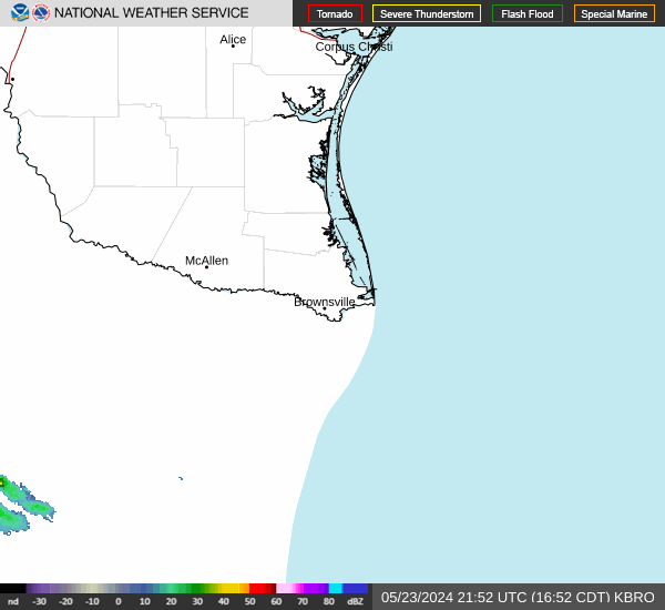
Radar & Satellite Image

Hourly Weather Forecast